

October 5, 2026
By Anna Richards
Main Facts: The Crucible of the Indian Ocean
For elite endurance backpackers, France’s legendary GR20 has long served as the ultimate alpine benchmark. Carving a jagged path across the spine of Corsica, the 112-mile route tests the mettle of over 20,000 adventurers annually with its vertigo-inducing drop-offs, punishing stone staircases, and technical cable-and-rung scrambles. Yet, despite its reputation for rugged isolation, the Corsican classic suffers from a modern affliction: popularity. Even during off-season windows when high-altitude refuges board up their windows, solitude on the GR20 remains a rare commodity.
Enter the GR R2—a lesser-known, fiercely punishing 109-mile transverse trek across Réunion Island, a dramatic French overseas territory nestled in the Indian Ocean. While the two trails appear deceptively matched on paper, the GR R2 introduces a volatile variable absent from European alpine routes: the tropics.
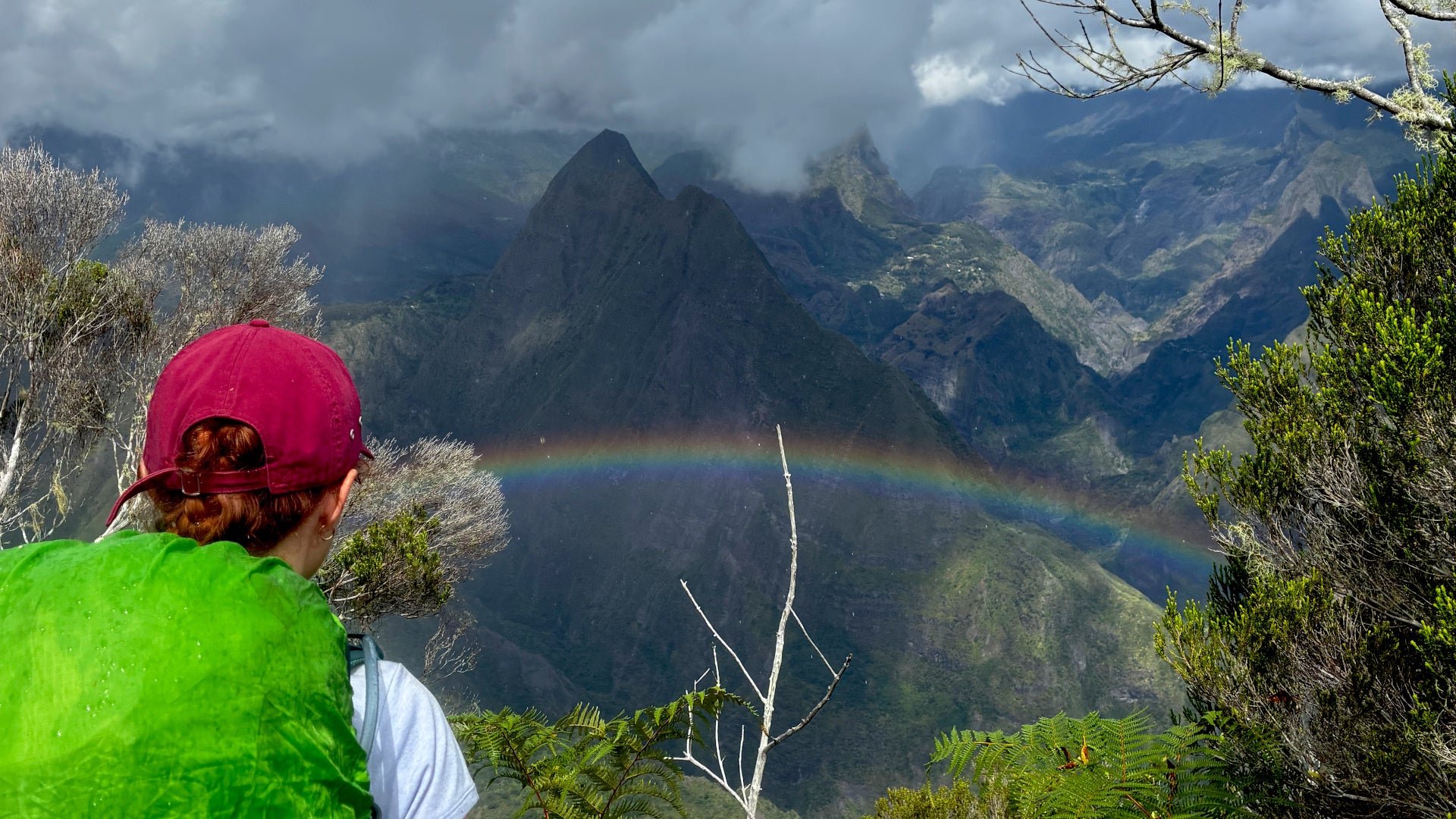
Boasting a staggering 38,091 feet of elevation gain packed into a roughly two-week itinerary, the trail matches the grueling vertical metrics of the GR20 while introducing relentless humidity, dense rainforest mud baths, volcanic moonscapes, and high-altitude weather anomalies. Operating within a broader seasonal window from May to November, the trail remains remarkably uncrowded, offering thru-hikers a raw, untamed wilderness experience. After tackling both behemoths, the verdict among seasoned endurance hikers is shifting: the GR R2 is not only wilder and more remote, but it is also arguably the most relentlessly difficult trail under the French flag.
Chronology: A Three-Part Odyssey Across Réunion Island
Dividing the GR R2 into three distinct topographical chapters reveals a landscape that shifts violently from claustrophobic jungle canopies to isolated volcanic cirques and arid, Martian calderas.
Part One: Saint-Denis and the Jungle Baptism
- Distance: 14 miles
- Elevation Gain: 7,608 ft
- Recommended Duration: 1.5 days
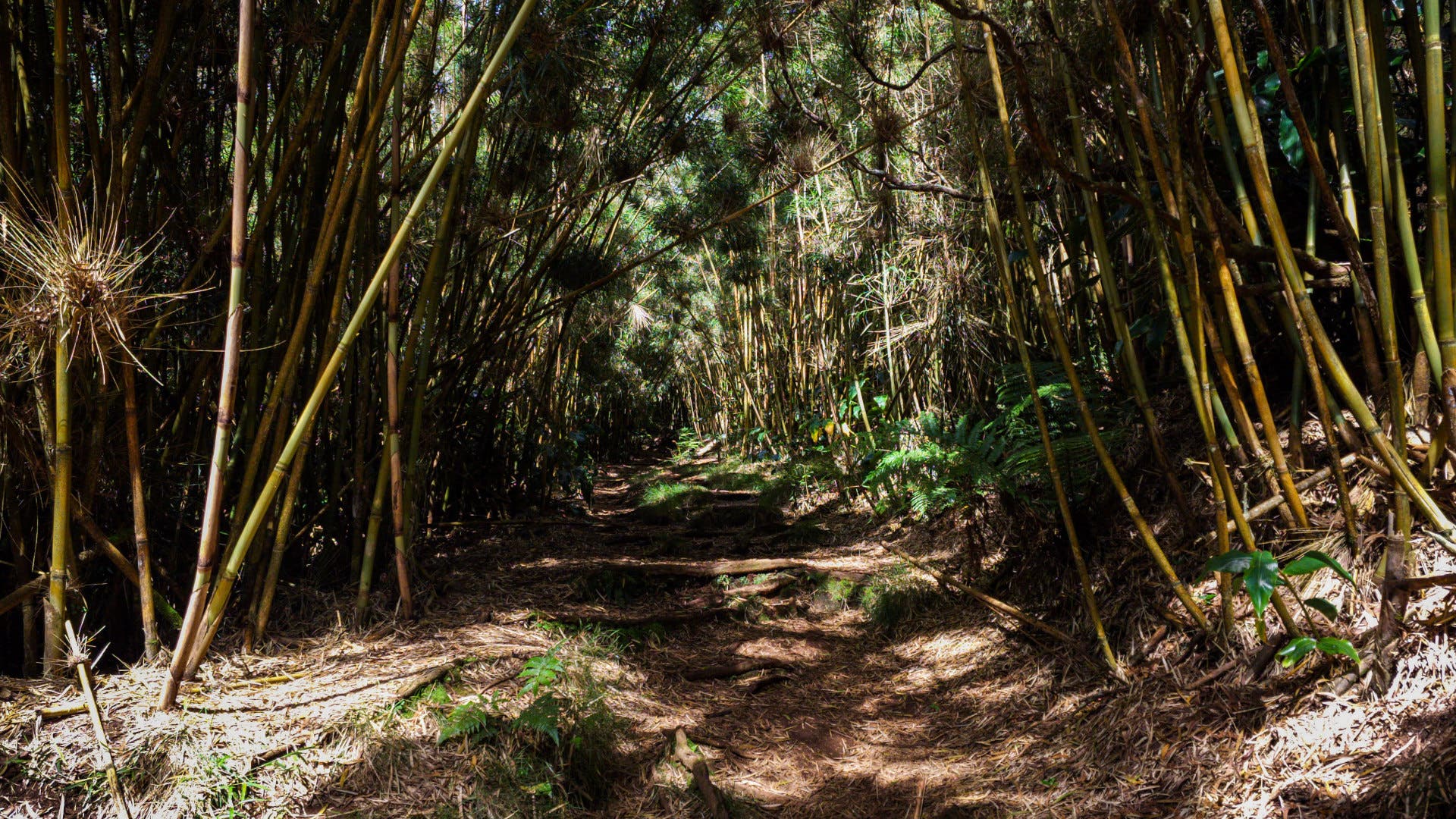
The traverse begins in La Providence, St-Denis, with an immediate, unforgiving 5,906-foot ascent—a brutal "baptism of fire" that rivals the GR20’s infamous day-one climbs. However, Réunion operates under a vastly different atmospheric regime. The dense tropical rainforest traps ambient moisture, transforming frequent rain squalls into treacherous mud baths.
Beneath a thick canopy that occasionally obscures panoramic vistas, the trail teems with exotic, non-native flora and fauna. Because Réunion remained uninhabited until the mid-17th century, the ecosystem is heavily populated by introduced species. Thru-hikers frequently encounter armies of giant African land snails and pale, hedgehog-like tenrecs—creatures originally brought over from Madagascar.
The first major milestone is the Refuge de la Roche Écrite, the mandatory base camp for summiting the trail’s first major peak. Climbers typically leave their primary packs at the refuge to race the clouds for sunrise or sunset vistas over the northern lowlands.
Part Two: Saint-Paul and the Isolated Cirques
- Distance: 35 miles
- Elevation Gain: 15,600 ft
- Recommended Duration: 6 days
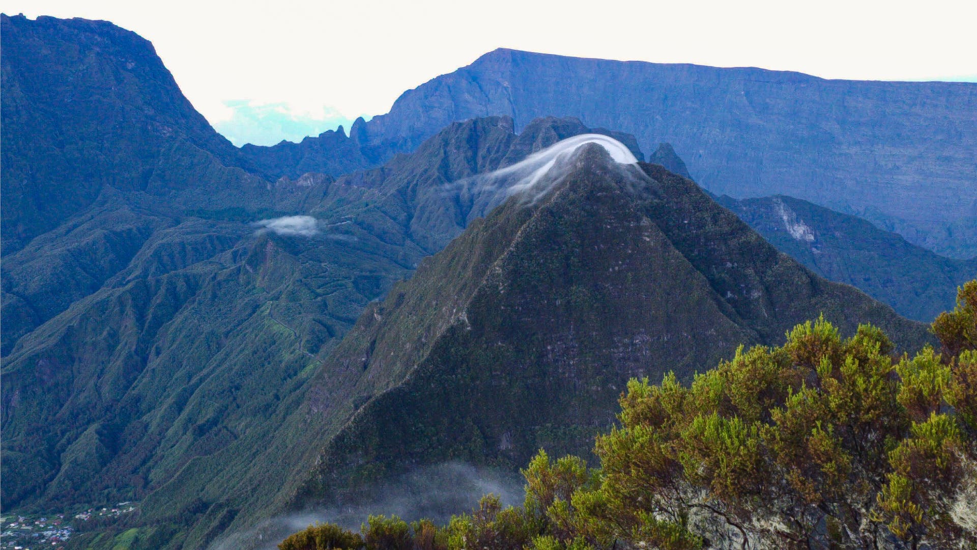
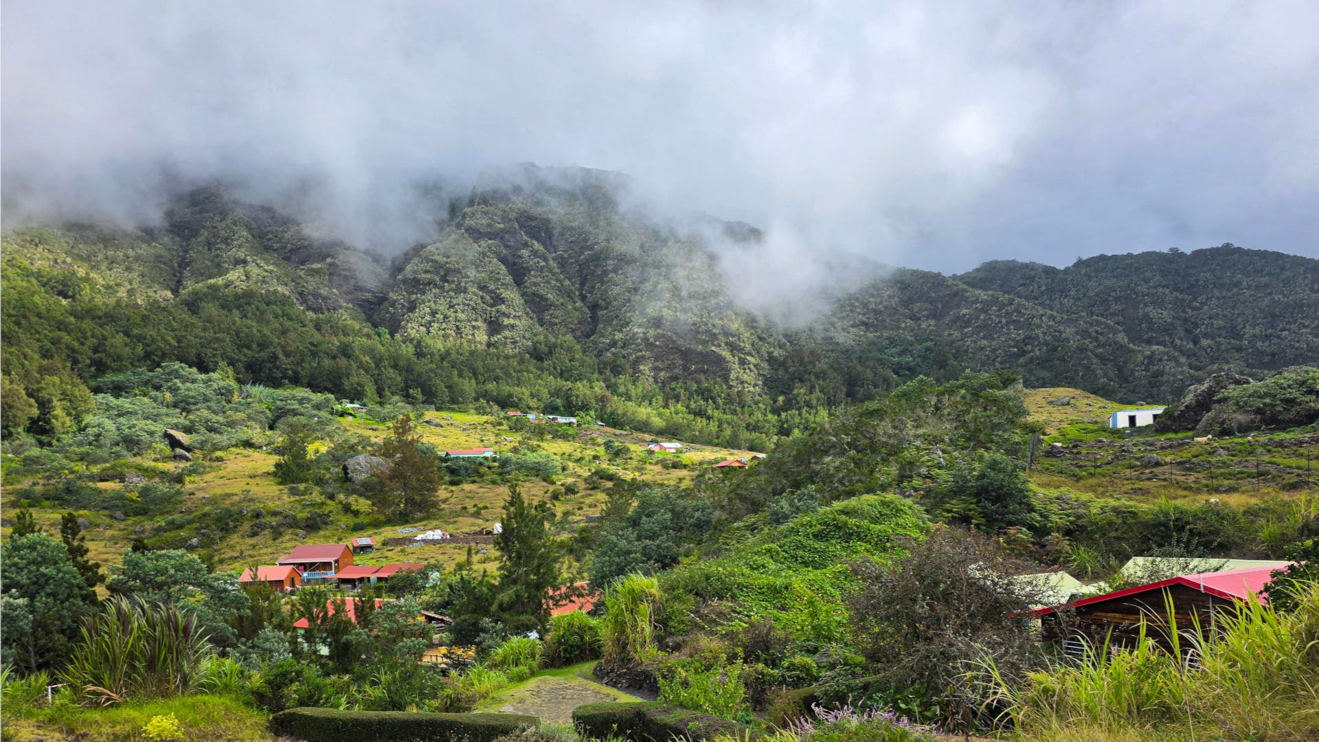
Leaving the northern peaks behind, the route undulates toward the mountain hamlet of Dos d’Âne before plunging into the Cirque de Mafate. Devoid of roads, Mafate is a geological fortress where all provisions must be airlifted by helicopter.
The cirque carries a profound historical weight. During the era of marronnages (spanning the mid-17th to mid-19th centuries), thousands of enslaved people fled their colonial masters, carving out isolated sanctuaries in Mafate’s most inaccessible pockets. Today, brightly painted houses still cling precariously to sheer cliff edges.
Navigating Mafate demands technical precision. Sections leading into Aurère, Grand Place, and Roche Plate require scaling metal ladders drilled directly into sheer rock faces. While these obstacles test the nerves, they are tempered by the welcoming hospitality of local gîtes (mountain lodges), which serve authentic Réunionese cuisine and provide vital economic lifelines to isolated rural families. Wild camping is legally tolerated in designated pockets, but staying in the lodges transforms the physical grind into a cultural immersion.
Part Three: Saint-Pierre, Volcanoes, and the Final Descent
- Distance: 60 miles
- Elevation Gain: 14,948 ft
- Recommended Duration: 5.5 days
Crossing the dramatic mountain pass of Col du Taïbit from Marla marks the transition into the southern Saint-Pierre district. Thru-hikers soon descend into Cilaos, a bustling mountain town of over 5,000 residents that feels like a metropolis after a week in the backcountry.
From Cilaos, the trail scales upward to the notoriously cramped and aromatic Refuge de la Caverne Dufour. Because wild camping is strictly prohibited across the surrounding slopes, this refuge serves as the sole gateway for summiting Piton des Neiges—Réunion’s highest peak at 10,692 feet. Timing the summit for sunset requires a careful headlamp-lit descent back to the refuge, making this stretch the busiest corridor on the entire route.
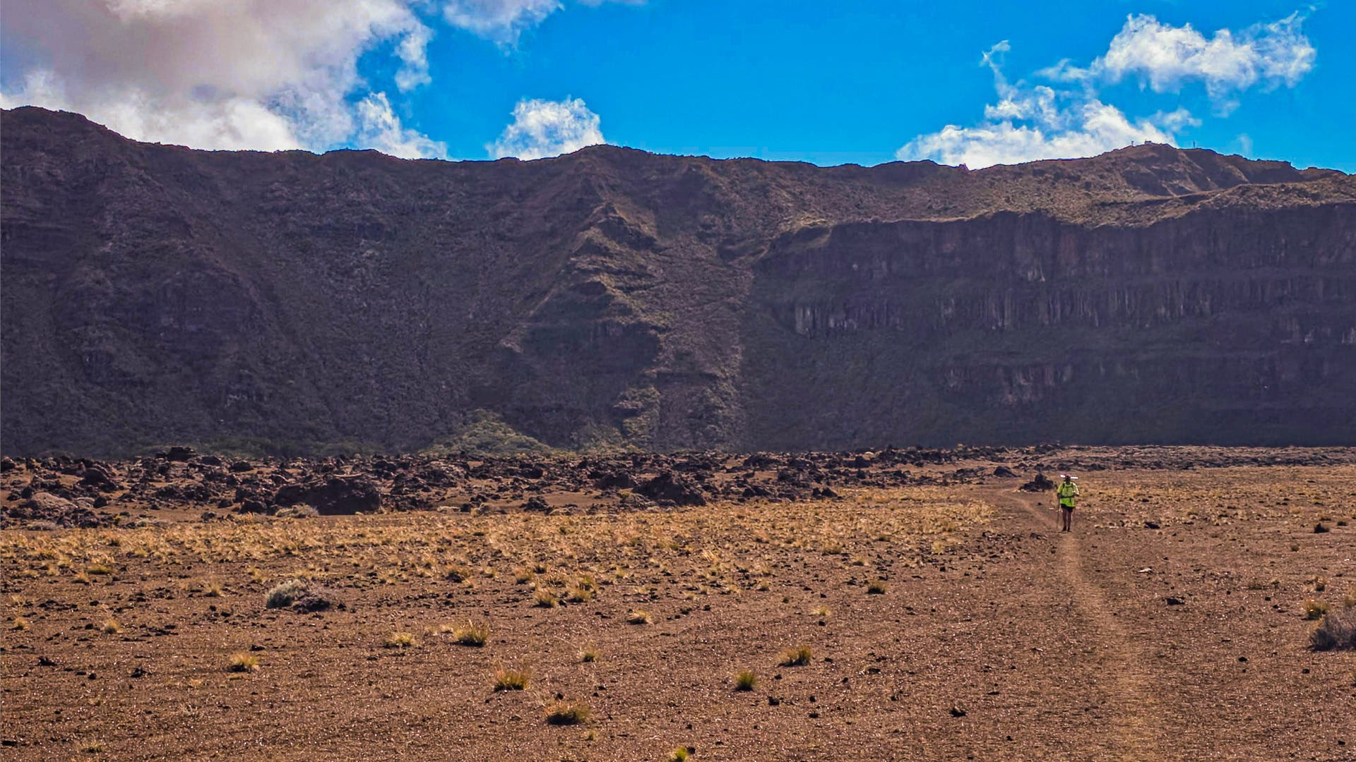
Beyond Piton des Neiges, the landscape undergoes a radical metamorphosis. The lush jungle gives way to loose, shifting scree and volcanic ash, mimicking a hike across Mars as hikers approach the active shield volcano, Piton de la Fournaise. After resting at the Gîte du Volcan, adventurers can easily summit the crater rim with a light daypack to peer directly into its smoking abyss.
The final push from the volcano to Basse Vallée tests the absolute limits of physical and mental exhaustion. Though officially split over two days, many thru-hikers attempt to double up the final stages. Doing so requires navigating a precipitous 7,546-foot descent over slippery tree roots and unstable scree—a hazardous undertaking if darkness falls before reaching the coast.
Supporting Data: GR20 vs. GR R2 At a Glance
Direct statistical comparison highlights why outdoor enthusiasts debate the merits of these two elite European-territory thru-hikes:
| Metric | GR R2 (Réunion Island) | GR20 (Corsica, France) |
|---|---|---|
| Total Distance | 109 miles | 112 miles |
| Total Elevation Gain | 38,091 feet | 39,370 feet |
| Recommended Duration | 11 – 15 days | 14 – 16 days |
| Prime Hiking Window | May – November | June – September |
| Primary Terrain Hazards | Tropical humidity, mud, volcanic scree, rainforest canopies | Alpine exposure, technical scrambling, cable-and-rung drops |
| Annual Traffic | Low to moderate density | High density (>20,000 hikers) |
Official Responses and Ecological Management
The management of trails like the GR R2 requires a delicate balance between outdoor recreation and environmental conservation. Local authorities, including the Parc National de Réunion, closely monitor trail infrastructure to mitigate the severe erosion caused by tropical downpours and heavy foot traffic.
Park administrators emphasize the importance of utilizing established gîtes rather than random wild camping in sensitive zones like the Cirque de Mafate and the Piton des Neiges massif. "The preservation of Réunion’s unique endemic biodiversity depends heavily on sustainable backcountry practices," notes regional park management guidelines. "By channeling hikers through regulated mountain lodges, we not only protect fragile volcanic soils and endemic flora from degradation, but we also ensure that remote island communities directly benefit from ecotourism."
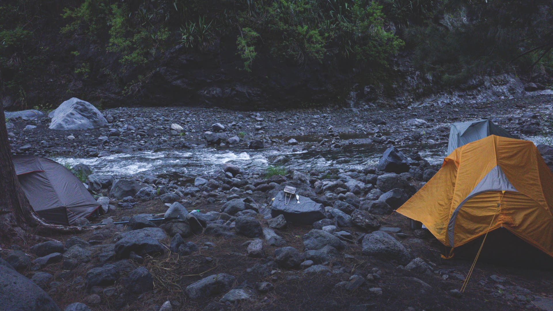
Furthermore, rescue services on Réunion issue continuous safety advisories regarding rapid weather shifts. Because tropical storms can instantly turn dry riverbeds into raging torrents and obscure volcanic trails in blinding fog, official bodies strongly urge all thru-hikers to carry reliable satellite communication devices and offline GPS tracking tools.
Implications: The Future of Remote Thru-Hiking
As traditional long-distance routes across mainland Europe and North America experience unprecedented overcrowding, adventurous backpackers are increasingly casting their gaze toward remote, overseas territories. The GR R2 exemplifies this paradigm shift, proving that true wilderness adventures still exist under European jurisdiction—provided hikers are willing to pay the physical toll.
Navigating the GR R2 requires abandoning traditional alpine mindsets. The reliance on advanced GPS technology—such as the Suunto Vertical 2, which emits automated alerts during off-trail deviations—highlights how modern navigation tools are becoming mandatory safety gear in dense tropical rainforests where traditional trail markers frequently fade or wash away.
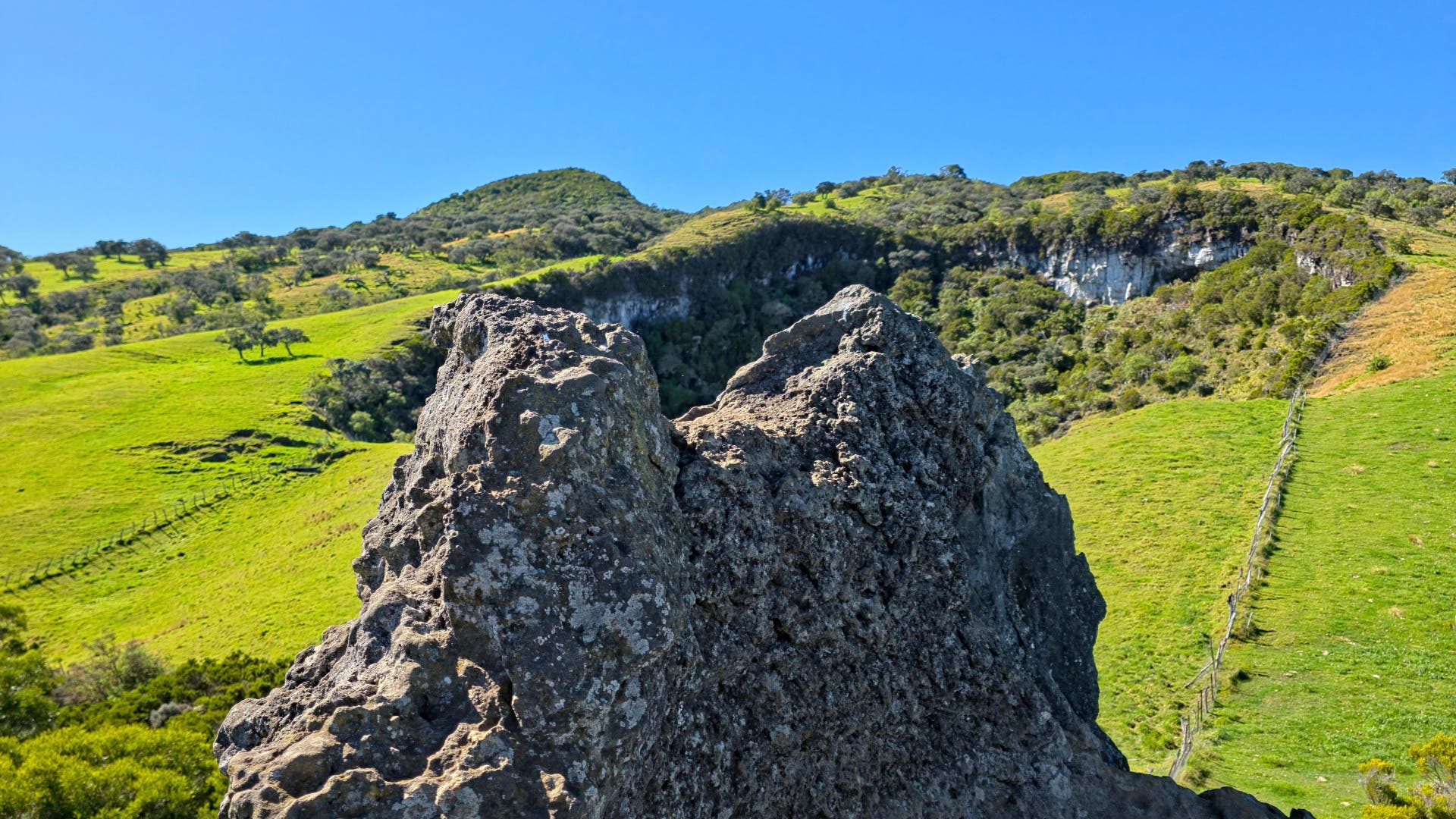
Ultimately, the GR R2 leaves an indelible mark on those who complete its grueling traverse. While the GR20 remains a masterclass in rocky, alpine exposure, the GR R2 wins the title of France’s toughest thru-hike through sheer relentlessness. It offers a masterclass in climatic diversity, combining the raw power of active volcanism with the intimate, historic isolation of deep tropical cirques—all while granting hikers the increasingly rare luxury of solitude.
