Main Facts: The Raw Reality of Australia’s Red Centre
In the biting predawn chill of Central Australia, a single headlamp beam cuts through a corridor of spinifex grass. Ahead, the monolithic silhouette of the Tjoritja/West MacDonnell Ranges looms against the indigo sky. The objective is Mount Sonder—known traditionally as Rutjupma by the Indigenous Aranda people—the Northern Territory’s fourth-highest peak, standing at 4,530 feet. The goal is simple yet demanding: reach the summit to witness a desert sunrise before the arid landscape transforms into a punishing solar oven.
This is the Australian Red Centre, a geographical and cultural ecosystem far removed from the sun-drenched, surf-washed beaches of the nation’s heavily populated coastal capitals. Here, the wildlife is as striking as it is perilous. Just twenty-four hours prior to the final ascent, an Eastern brown snake—consistently ranked among the most venomous serpents on Earth—slithered across the singletrack trail. Later that evening, a massive huntsman spider patrolled the exterior nylon of the basecamp tent.
These encounters serve as an unvarnished introduction to a 139-mile (221-kilometer) thru-hike known as the Larapinta Trail. Stretching from the historic Alice Springs Telegraph Station in the east to the summit of Mount Sonder in the west, the route weaves through ancient geological formations, dry riverbeds, rugged quartzite ridges, hidden waterholes, and deep, dramatic gorges.
Yet, the physical geography is only half the story. The trail cuts through the traditional homelands of the Aranda people, who have maintained an unbroken spiritual, cultural, and stewardship connection to this landscape for at least 50,000 years. For modern travelers, the Larapinta Trail offers a rare dual experience: a world-class, physically taxing desert trek, and an immersive journey into one of the oldest living cultures on the planet.
Chronology: A Five-Day Deep Dive into the Desert
While completing the entire Larapinta Trail as a continuous thru-hike typically requires roughly two weeks of strenuous self-supported backpacking, an increasingly popular alternative is tackling the route via supported section-hikes. Joining an expedition organized by Intrepid Travel alongside local Aranda cultural guides, this journey covered approximately 60 miles across five days, utilizing six distinct trailheads to sample the breadth of the trail’s varied terrain.
Phase One: The Gateway to the Ranges (Sections 1–2)
The trek begins deceptively gently at the Alice Springs Telegraph Station. The path starts on manageable, flat terrain before steadily ascending into the rugged ridge country of Euro Ridge. From this elevated vantage point, hikers are rewarded with sweeping panoramic views overlooking the sprawling MacDonnell Ranges and the distant township of Alice Springs. Additional water caches and campsites, such as Mulga Camp four miles past Simpsons Gap, offer critical hydration points as the environment quickly dries out.
Phase Two: Cultural Immersive and High Ridgelines (Sections 3–4)
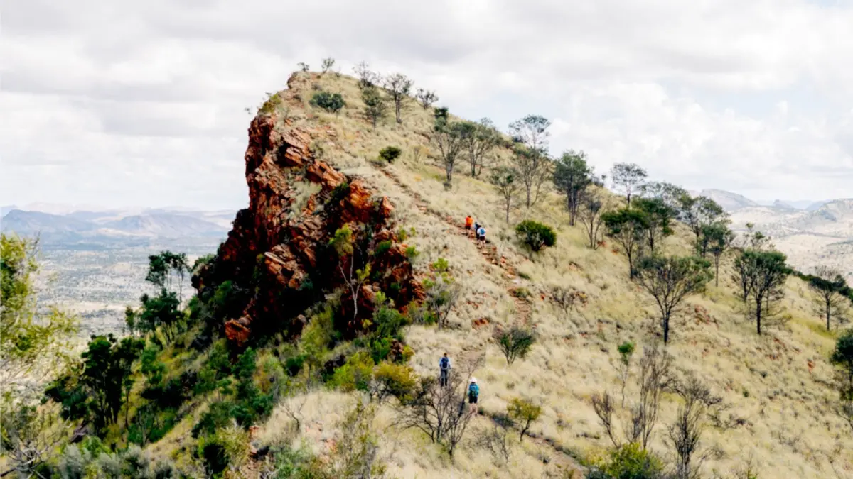
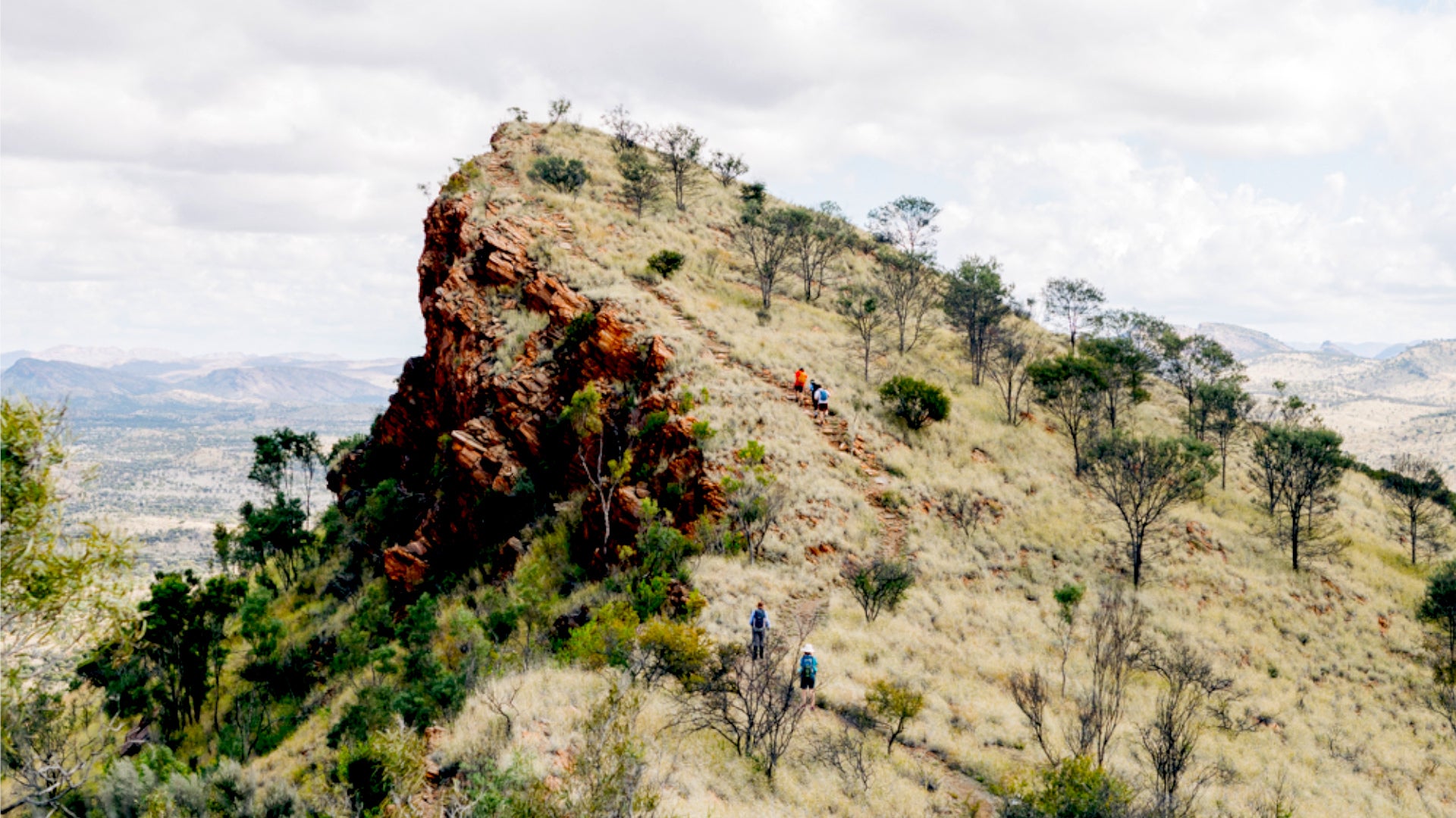
Transitioning from Jay Creek to Standley Chasm (Angkerle Atwatye), the journey intersects with a deeply sacred women’s site privately owned and operated by the Aranda people. Passing through the sheer, towering walls of the chasm provides an intimate look at unique desert flora and fauna adapted to micro-climates of shade and moisture. Beyond Standley Chasm, the trail shifts dramatically in character, demanding a brutal 2,300-foot vertical climb across some of the steepest, most exposed quartzite ridgelines in the entire Tjoritja/West MacDonnell National Park.
Phase Three: Knife-Edges and Water Crossings (Sections 5–6)
Traversing from Birthday Waterhole to Hugh Gorge and Ellery Creek North brings hikers face-to-face with the aptly named Razorback Ridge—a razor-thin, knife-edge pathway requiring immense balance and focus. Depending on seasonal rainfall and water levels, reaching the campsite beyond Hugh Gorge may require wading chest-deep or swimming through natural water pools. Secondary water access points, such as Rocky Gully located nine miles from Hugh Gorge, are vital lifelines in this arid theater.
Phase Four: Ancient Lore at Serpentine Gorge (Sections 7–8)
Sections 7 and 8, running from Ellery Creek North to Serpentine Gorge and Serpentine Gorge Dam, introduce travelers to some of the most spiritually potent locations along the route. Benjamin “Benji” Kenny, a local Aranda cultural guide, led the expedition along an unassuming path down to the water’s edge. There, he shared foundational Aboriginal “Dreaming Stories,” specifically detailing the mythology of the Rainbow Serpent tied directly to the waters of the gorge. This narrative framework instantly transforms the landscape from mere geological formations into an ancient library of oral history written into stone and water thousands of years ago.
Phase Five: The Crux and the Summit (Sections 9 through 12)
Section 9 represents the trail’s most punishing test of endurance and logistics. Climbing nearly 3,000 vertical feet through the sacred Inarlanga Pass, hikers face a grueling 19-mile stretch devoid of reliable natural water sources between Serpentine Chalet Dam and Ormiston Gorge. The journey ultimately culminates in Sections 11 and 12, trekking from Finke River through Redbank Gorge before pushing toward the ultimate terminus at Mount Sonder, where a sunrise side-quest rewards the weary with a 360-degree view of the exact wilderness just conquered.
Supporting Data: Trail Logistics, Grades, and Planning
Navigating the Larapinta Trail requires meticulous preparation. According to trail experts and lead guides, the sheer physical toll of the route is frequently underestimated by visitors accustomed to softer, soil-based trekking paths.
Distance & Structure: The trail is officially divided into 12 distinct sections, ranging in length from 6 to 18 miles per section.
Difficulty & Terrain: While most sections are categorized as moderately difficult, Sections 4, 5, and 9 are exceptionally demanding, characterized by massive boulders, loose, uneven footing, highly abrasive quartzite rock, and severe elevation changes.
Water Management: Most trailheads are equipped with official water tanks managed by park authorities. However, natural water sources (such as streams and rock pools) are entirely weather-dependent and fundamentally unreliable. Section 9 demands rigorous water carriage for its 19-mile dry stretch.
Best Time to Visit: The optimal window for undertaking the Larapinta Trail spans from April to August, during the Southern Hemisphere’s cooler winter months. Outside of this window, ambient temperatures in Central Australia frequently skyrocket to between 113°F and 122°F (45°C to 50°C), creating life-threatening heatstroke conditions.
Permits and Fees: Independent hikers must secure a Northern Territory Parks Pass (approx. $60 AUD), official campground reservations ($10 AUD per person per night), and mandatory walking fees ($25 per night, capped at $125 AUD for trips exceeding six nights). All documentation must be processed in advance via the Northern Territory Parks Booking System.
Logistics Support: For independent hikers opting out of fully guided packages from operators like Intrepid Travel, Tasmanian Walking Company, or World Expeditions, specialized regional services such as Larapinta Express and Larapinta Trail Trek Support provide critical food-drop management and trailhead transportation logistics.
Official Perspectives: Expert Insights on the Outback
The dual nature of the Larapinta Trail—balancing raw, unforgiving physical challenge with profound cultural reverence—is best understood through those who guide upon it daily.
Jason Wass, lead guide for the expedition, emphasizes that the desert environment demands absolute respect, regardless of whether a traveler is attempting a complete thru-hike or cherry-picking day walks.
"Just because it’s an arid desert, people don’t realize how tough the trail is, with huge rocks, uneven track, and sharp ascents that make it super challenging," Wass explains.
Addressing the philosophical approach to experiencing the Red Centre, Wass offers advice that resonates with both novices and veteran backpackers:
"You can walk the entire 139 miles with a fully loaded pack, or piece together sections over a few days and still feel accomplished for tackling one of the toughest hikes in Australia. Either way, get out of the vehicle, put one foot in front of the other, and give the landscape time to reveal itself."
Benjamin “Benji” Kenny, speaking from the perspective of an Aranda traditional custodian, highlights the irreplaceable value of cultural integration on the trail. By explaining the connection between sacred sites like Standley Chasm, Serpentine Gorge, and ancient Dreaming narratives, Kenny underscores that the Larapinta is not merely a recreational hiking corridor, but a living cultural landscape that has sustained human life and spirituality since time immemorial.
Implications: The Future of Cultural and Eco-Tourism in the Red Centre
The growing popularity of the Larapinta Trail carries significant implications for tourism management, conservation, and Indigenous reconciliation in Australia’s Northern Territory.
As more domestic and international travelers look beyond coastal hubs in search of authentic, off-the-beaten-path wilderness experiences, the economic footprint of ecotourism in Central Australia is expanding. Partnerships between commercial adventure companies (such as Intrepid Travel) and traditional landowners ensure that tourism revenue directly benefits Aranda communities while fostering cross-cultural understanding. Visitors walking through privately owned Aranda land gain an intimate appreciation for Indigenous stewardship, shifting the paradigm of adventure travel from passive consumption of scenery to active, respectful engagement with living heritage.
Simultaneously, the physical challenges and environmental extremes of the Larapinta Trail highlight the escalating risks posed by climate change. With desert temperatures rising globally, managing hiker safety during shoulder seasons becomes increasingly critical. Park authorities and commercial operators face mounting pressure to enforce strict safety protocols, improve water infrastructure resilience, and educate self-guided tourists on the lethal realities of outback dehydration.
Ultimately, completing the Larapinta Trail—whether through a gruelling two-week thru-hike or a modular, multi-day section trek—leaves an indelible mark on the traveler. As tired legs step off the trail and boots accumulate the unmistakable red dust of the outback, the realization sets in: five days and sixty miles is merely an introduction to a landscape so vast, ancient, and layered that it demands a triumphant return.