

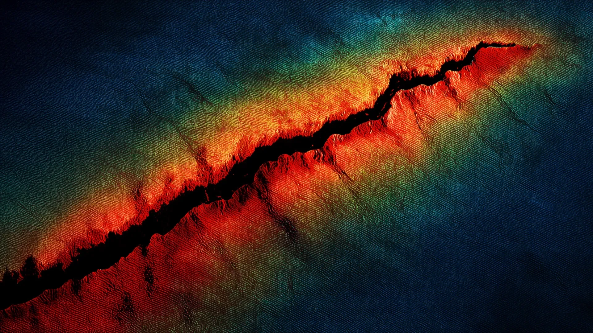
PORTLAND, Ore. — A groundbreaking seismic analysis of the subterranean architecture beneath the Pacific Northwest has revealed that the Juan de Fuca tectonic plate is significantly closer to the Earth’s surface in northern Oregon than previously understood. Unveiled at the Seismological Society of America (SSA) Annual Meeting, the new findings suggest that the geological slab interface rests roughly 5 kilometers shallower than standard regional models have accounted for for decades.
Coupled with the simultaneous discovery of a deep, previously unmapped sedimentary basin hidden beneath the Oregon coast, the research indicates that future megathrust earthquakes along the notorious Cascadia Subduction Zone could unleash substantially more violent and prolonged ground shaking than current building codes and emergency preparedness plans anticipate.
The revelation addresses a persistent and dangerous blind spot in regional geoscience. While sections of the Cascadia fault system in Washington and northern California have offered relatively robust datasets due to higher background seismicity, northern Oregon has historically been characterized as seismically quiet. This quietude left researchers with a scarcity of natural seismic waves needed to accurately image the subterranean landscape. By deploying advanced temporary sensor arrays and synthesizing offshore datasets, a team of researchers led by the U.S. Geological Survey (USGS) has fundamentally rewritten the seismic profile of the region, carrying profound implications for millions of residents, structural engineers, and emergency planners from the coastline to the Portland metropolitan area.
Main Facts
At the core of the new scientific consensus is a revised geometry of the Cascadia Subduction Zone, where the oceanic Juan de Fuca tectonic plate is relentlessly sliding underneath the continental North American plate.
- Revised Depth: According to the new analysis, the slab interface beneath northern Oregon rests at a depth of approximately 20 kilometers (about 12.4 miles) near the coastline. This is roughly 5 kilometers shallower than previous scientific consensus models estimated.
- Increased Shaking Intensity: Because the subducting plate is closer to the surface, seismic energy will have a shorter distance to travel during a rupture. Researchers calculate that this shallower interface could increase peak ground acceleration—the physical measure of how violently the ground shakes—by 9% to 17% along the northern Oregon coast during a future Cascadia megathrust earthquake.
- The Tillamook Sedimentary Basin: In addition to the plate geometry discovery, the team identified a deep sedimentary basin situated directly beneath Tillamook, Oregon. This marks the first time direct seismological constraints have been applied to map the basin’s precise shape, depth, and structural boundaries.
- Amplification Risks: Soft sedimentary basins function structurally like a "bowl of jello," trapping seismic waves, amplifying their intensity, and significantly prolonging the duration of shaking. Combined with the shallower slab, this discovery warns of a double hazard for the region.
- Methodology: The breakthrough was made possible by a massive deployment of 192 temporary nodal seismometers across a dense grid stretching from Tillamook to Portland during the summers of 2021 and 2022, combined with offshore seismic data collected along the Pacific Rim.
Chronology of Discovery
The path to rewriting northern Oregon’s seismic hazard map required a multi-year, highly coordinated deployment of cutting-edge geophysical instruments, filling in data gaps that had persisted for generations.
The Historical Data Deficit
For decades, seismologists studying the Pacific Northwest faced a frustrating geological paradox. The Cascadia Subduction Zone is fully capable of producing devastating magnitude 9 earthquakes—cataclysmic events on par with the 1700 Cascadia earthquake that sent a tsunami across the Pacific Ocean to Japan. However, northern Oregon experienced remarkably little background earthquake activity compared to its neighbors to the north and south.
Without micro-earthquakes or moderate tectonic events constantly pinging the deep crust, scientists lacked the "flashlights" needed to illuminate the deep structure of the Juan de Fuca plate. Models of the slab’s depth and dip angle relied heavily on regional approximations, gravity data, and sparse wide-angle seismic profiles that lacked high-resolution clarity.
The 2021–2022 Nodal Deployment
Recognizing the urgent need to bridge this data gap, researchers launched an ambitious field campaign. During the summers of 2021 and 2022, a team led by USGS seismologists and academic partners installed 192 temporary nodal seismometers. These small, highly sensitive, highly portable seismic sensors were arranged in a dense array stretching overland from the coastal community of Tillamook eastward toward Portland.
Concurrently, marine geophysicists conducted a complementary offshore study in 2021, deploying ocean-bottom seismrometers along the continental margin from Vancouver Island down to northern California. This offshore study independently uncovered evidence that the subducting slab was shallower than earlier maritime models suggested.
Synthesis and Presentation at the 2026 SSA Annual Meeting
By merging the onshore nodal array data with the offshore marine recordings, the research team created a seamless, high-resolution geophysical dataset crossing the continental shelf. When processed, the data revealed clear, unambiguous reflections and conversions of seismic waves that pinned down the exact depth of the Juan de Fuca plate.
At the Seismological Society of America Annual Meeting, USGS seismologist Erin Wirth officially presented these findings to the global scientific community. The announcement immediately drew attention from hazard analysts, structural engineers, and emergency management officials who realized that standard risk assumptions for the Pacific Northwest required an urgent update.
Supporting Data and Geophysical Mechanisms
Understanding why a shallower slab and a sedimentary basin escalate earthquake risks requires a close examination of fundamental physics and wave propagation mechanics.
The Physics of Shallow Ruptures
When an earthquake occurs, seismic energy radiates outward in all directions from the fault rupture zone (the hypocenter). If a rupture initiates and propagates at a shallower depth—closer to the Earth’s surface—the seismic waves have a significantly shorter transit distance to reach populated surface areas.
In deeper earthquakes, seismic energy loses significant momentum and amplitude as it travels through tens of kilometers of dense crustal rock, dispersing and attenuating over distance. When that travel distance is compressed by 5 kilometers, as is now documented in northern Oregon, far less energy is lost to attenuation. The resulting seismic waves arrive at the surface sharper, sharper-peaked, and carrying higher frequency energy that is particularly destructive to infrastructure.
The "Bowl of Jello" Effect in Sedimentary Basins
Compounding the hazard of the shallow slab is the newly mapped sedimentary basin beneath Tillamook. Sedimentary basins are geological depressions filled with layers of unconsolidated or semi-consolidated mud, sand, gravel, and silt.
When seismic waves traveling upward from a deep megathrust earthquake hit the dense rock-to-sediment boundary of a basin, two dangerous things happen:
- Impedance Contrast: The seismic waves slow down dramatically as they enter the softer material, but to conserve energy, their amplitude (height and power) increases sharply.
- Wave Trapping: Waves become trapped inside the basin, bouncing back and forth against its steep subterranean walls. This creates a reverberation effect, turning a brief jolt into prolonged, rolling ground motion that can last for minutes after the initial rupture has stopped.
Seismologists have extensively studied similar phenomena in the Seattle Basin and California’s Los Angeles Basin, where sedimentary amplification notoriously worsened structural damage during historic earthquakes. The confirmation of a deep basin beneath Tillamook means the Oregon coast faces identical amplification vulnerabilities.
Official Responses and Scientific Community Reactions
The release of the USGS-led study has triggered ripples across the geological, engineering, and disaster response communities. While the findings introduce sobering news regarding potential ground motion, researchers emphasize that the discovery represents a vital step forward in preparedness.
"This is not a change in the physical reality of the earth beneath us, but rather a profound improvement in our ability to see it clearly," noted one regional engineering seismologist not directly involved in the study. "For years, our hazard models may have been underestimating the localized kinetic punch that a Cascadia earthquake could deliver to coastal communities in northern Oregon."
Emergency management agencies in Tillamook County and state-level organizations in Oregon are already reviewing how the new peak ground acceleration estimates—reflecting a 9% to 17% increase in shaking intensity—will impact regional mitigation strategies. Building codes, which dictate how commercial towers, schools, hospitals, and bridges are engineered to withstand lateral seismic forces, rely entirely on USGS National Seismic Hazard Models. As these new findings are integrated into future hazard model updates, engineers expect that structural reinforcement requirements for coastal and near-coastal zones may need to be adjusted upward.
Furthermore, state planners are evaluating what prolonged shaking from the Tillamook basin means for local infrastructure, including water treatment facilities, regional roadways, and coastal evacuation routes that could be compromised by liquefaction or prolonged structural fatigue.
Implications for the Pacific Northwest and Future Research
As the scientific community digests the implications of a shallower Juan de Fuca plate and the Tillamook sedimentary basin, the research team is already looking toward the next phase of discovery.
Expanding the Lens to the Tualatin Basin
Buoyed by the success of the 2021–2022 nodal deployment, Dr. Wirth and her colleagues have announced plans to leverage the same high-density dataset to investigate the Tualatin Basin near Portland in greater detail.
The Tualatin Basin, situated on the western side of the Portland metropolitan area, is heavily populated and underlain by significant sedimentary deposits. Understanding the precise geometry, depth, and wave-amplification characteristics of the Tualatin Basin is critical for projecting how the greater Portland area will react during a major Cascadia event or a crustal fault earthquake. Because Portland serves as the economic and logistical hub of Oregon, refined seismic hazard data for its surrounding basins is paramount for regional resilience.
A Call for Updated Mitigation and Preparedness
Ultimately, the research serves as a stark reminder of the dynamic, volatile nature of the Cascadia Subduction Zone. While a magnitude 9 megathrust earthquake remains a low-probability, high-consequence event on any given day, its geological inevitability over centuries dictates that preparation must align with the most accurate science available.
By illuminating the hidden geometry of the subducting slab and uncovering subterranean sedimentary traps, seismologists are providing communities with the knowledge required to fortify infrastructure, update building codes, and save lives. The message from the scientific community is unequivocal: science is painting a sharper, more intense picture of the Cascadia hazard, and regional resilience must evolve to match it.
