

By Global Science Correspondent
Published: April 2024
Main Facts
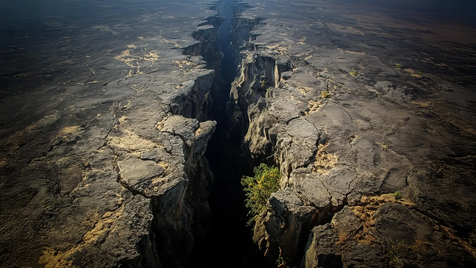
Deep beneath the surface of the African continent, a colossal geological engine is reshaping our understanding of how tectonic plates break apart. Utilizing advanced 3D computer models and over a decade of high-precision satellite data, an international team of geoscientists has successfully unraveled a long-standing geological puzzle within the East African Rift System (EARS).
The research points directly to the African Superplume—a vast, subterranean upwelling of intensely hot mantle material—as the primary driver of anomalous tectonic behavior running parallel to the giant rift. This discovery shatters the conventional, textbook view that continental rifting is driven solely by straightforward, outward-pulling forces. Instead, the findings reveal a dynamic interplay between shallow, surface-level buoyancy forces and deep-seated mantle dynamics operating thousands of kilometers below the Earth’s crust.
Key Takeaways:
- The African Superplume Connection: Northward-flowing mantle material from the Superplume is directly linked to an unexpected pattern of tectonic deformation that runs parallel to the East African Rift System.
- Dual-Force Mechanics: While traditional shallow lithospheric buoyancy forces drive the familiar east-west stretching (perpendicular to the rift), deep mantle tractions are responsible for the anomalous north-south movements.
- Seismic Confirmation: Computer simulations successfully replicated observed "seismic anisotropy"—the directional variation in how seismic waves travel through underground rocks—further validating the presence of deep mantle flow aligning subterranean mineral structures.
- A Natural Laboratory: The EARS serves as the premier active laboratory on Earth for observing the early stages of continental breakup and potential ocean basin formation.
Chronology of Discovery
The revelation of the African Superplume’s influence on surface deformation is the culmination of more than twelve years of painstaking field observations, technological advancement, and computational modeling.
Phase 1: High-Precision GPS Observations (Early 2010s)
The mystery began when geophysicist D. Sarah Stamps, then a postdoctoral researcher, began analyzing data from a network of Global Positioning System (GPS) stations deployed across East Africa. Utilizing signals from over 30 navigational satellites orbiting approximately 25,000 kilometers above the Earth, Stamps and her colleagues achieved millimeter-scale precision in measuring surface movements.
While the data confirmed standard geological expectations—showing that the Earth’s crust was pulling apart perpendicular to the trend of the rift—it also revealed an unexpected wrinkle. Parts of the region were sliding and deforming in a direction entirely parallel to the rift system, defying existing models of continental extension.
Phase 2: Testing the Buoyancy Hypothesis (2020–2021)
For years, the scientific community debated whether the EARS was primarily driven by lithospheric buoyancy forces (shallow elevation and density variations) or mantle traction forces (deeper currents of hot rock).
In a landmark 2021 study published by Stamps’s lab at Virginia Tech, researchers employed early 3D computational simulations to test how these forces interact. The models demonstrated that shallow buoyancy forces successfully accounted for standard, perpendicular rifting, but completely failed to explain the anomalous parallel motions measured by Stamps’s GPS network. The mystery of the parallel deformation remained unsolved, driving the team to look deeper into the Earth’s interior.
Phase 3: Thermomechanical Modeling and the Superplume (Recent Findings)
To crack the case, Tahiry Rajaonarison—then a Ph.D. student in Stamps’s lab at Virginia Tech and later a postdoctoral researcher at New Mexico Tech—developed sophisticated 3D thermomechanical models.
By simulating the complex rheology (flow properties) of the Earth’s interior over varying timescales, Rajaonarison’s models tested the impact of the African Superplume. Published in the Journal of Geophysical Research, the results showed that northward-flowing mantle material originating deep beneath southwest Africa could successfully reproduce both the observed parallel surface deformation and the seismic anisotropy signatures hidden deep beneath the rocks.
Supporting Data and Geophysical Mechanics
To understand the magnitude of this discovery, one must examine the mechanics of the lithosphere—the rigid outer shell of the Earth comprising the crust and uppermost mantle—and how it reacts to stress.
The "Silly Putty" Analogy of the Lithosphere
Geophysicists often struggle to convey the complex, dual nature of rocks under pressure. D. Sarah Stamps, now an associate professor in the Department of Geosciences at the Virginia Tech College of Science, uses a familiar childhood toy to explain the phenomenon.
"If you hit Silly Putty with a hammer, it can actually crack and break," Stamps explains. "But if you slowly pull it apart, the Silly Putty stretches. So on different time scales, Earth’s lithosphere behaves in different ways."
Near the Earth’s surface, where temperatures and pressures are relatively low, brittle rocks fracture, producing normal faults, deep grabens, and frequent earthquakes. Deeper down, where extreme heat softens the material, rocks deform continuously and gradually over millions of years through ductile flow.
Dissecting the Two Forces Shaping East Africa
The East African Rift System is shaped by a tug-of-war between two distinct geological drivers:
- Lithospheric Buoyancy Forces (Shallow): These operate within the crust and uppermost mantle. Driven by regional variations in elevation and crustal thickness—such as the massive topography associated with the African Superswell—these forces pull the continent apart in an east-west direction.
- Mantle Traction Forces (Deep): Originating deep within the Earth’s mantle, these forces are generated by the massive convective upwelling of the African Superplume. As hot material rises from the core-mantle boundary beneath southwest Africa and travels northeastward, it exerts lateral drag (traction) on the base of the overriding lithospheric plate.
Decoding Seismic Anisotropy
A critical breakthrough in the recent study came from analyzing seismic anisotropy. As seismic waves generated by distant earthquakes pass through the Earth, their velocity changes depending on the crystalline orientation of the minerals they encounter.
Under normal conditions, mantle minerals like olivine align themselves in the direction of ambient rock flow. Rajaonarison’s 3D models successfully predicted that the northward mantle flow of the African Superplume would force underground minerals to align parallel to the rift axis. When compared against empirical seismic data, the alignment matched perfectly, providing independent confirmation of the computer simulations.
Official Responses and Expert Insights
The study has sent ripples through the international geosciences community, offering a nuanced resolution to a long-standing debate on continental rifting.
- Dr. D. Sarah Stamps (Virginia Tech): Emphasizing the collaborative nature and evolutionary scope of the research, Stamps noted, "We’re excited about this result from Dr. Rajaonarison’s numerical modeling because it provides new information about the complex processes that shape the Earth’s surface through continental rifting. It proves that surface deformation cannot be viewed in isolation from deep Earth dynamics."
- Dr. Tahiry Rajaonarison (New Mexico Tech, Lead Author): Clarifying the dual-action mechanism identified in the study, Rajaonarison stated, "We are saying that the mantle flow is not driving the east-west, rift-perpendicular direction of some of the deformations, but that it may be causing the anomalous northward deformation parallel to the rift. We confirmed previous ideas that lithospheric buoyancy forces are driving the rift, but we’re bringing new insight that anomalous deformation can happen in East Africa."
Independent geophysicists not involved in the study have praised the research for bridging the gap between micro-geodesy (GPS surface measurements) and macro-geodynamics (whole-mantle convection models).
Implications for Earth Science and Future Research
The implications of these findings extend far beyond the borders of East Africa. The East African Rift System is widely recognized by geologists as the world’s premier natural laboratory for observing how a continent splits apart to eventually form a new ocean basin—a process that birthed the Atlantic Ocean millions of years ago.
1. Rewriting Textbook Models of Rifting
For decades, geologists attempted to model continental breakup using two-dimensional cross-sections that assumed simple, unidirectional forces. The Virginia Tech and New Mexico Tech findings demonstrate that 3D, multi-layered modeling is essential. Surface observations must be interpreted in tandem with deep-mantle tomography and flow dynamics.
2. Enhanced Seismic Hazard Assessment
Understanding the complex interplay between deep mantle traction and shallow crustal faulting improves regional hazard assessments. While deep plumes control large-scale tectonic regimes, the resulting stress fields directly influence earthquake distributions, volcanic activity, and surface faulting across nations situated along the rift, including Kenya, Ethiopia, Tanzania, and Uganda.
3. Future Directions in Geodesy
Stamps and her research team plan to expand their high-precision GPS networks and integrate denser seismic sensor arrays across the EARS. By refining their 3D thermomechanical models with higher-resolution data, researchers hope to map the exact pathways of the African Superplume with unprecedented clarity, tracking how thermal energy moves from the Earth’s core to the crust above.
As science continues to peel back the layers of our dynamic planet, the African Superplume stands as a testament to the profound connection between the deepest recesses of the Earth’s interior and the ground beneath our feet.
