

Published: September 1, 2026
Author: Backpacker Field Reporting Team
Category: Outdoor Skills & Safety
Main Facts
Navigating the backcountry is one of the most rewarding aspects of outdoor recreation, yet it remains fraught with invisible hazards that can instantly turn a leisurely hike into a serious survival scenario. Even seasoned backpackers admit to logging extra miles due to navigational failures. According to search-and-rescue (SAR) databases nationwide, human error—specifically poor route-finding, over-reliance on consumer technology, and misinterpretation of environmental cues—remains a primary catalyst for emergency dispatches.
This report examines four of the most common navigational traps encountered on modern trails:
- GPS signal failure within deep canyon environments.
- The deceptive lure of animal game trails.
- Rapid disorientation caused by stepping briefly off-trail.
- The growing hazard of misleading, unauthorized rock cairns.
By analyzing the mechanics behind these failures and adopting proven mitigation strategies, hikers can drastically reduce their risk profile without sacrificing the spirit of wilderness exploration.
Chronology and Anatomy of a Trail Error
To understand how hikers become lost, it is helpful to examine the step-by-step chronology of a typical navigational breakdown in the field.
- Phase 1: Complacency and Distraction. The hiker is moving smoothly, trusting visual continuity or a glowing blue dot on a digital screen. Attention to terrain features begins to wane.
- Phase 2: The Environmental Disruption. An external factor disrupts the baseline—a canyon wall blocks satellite telemetry, a dense cluster of trees obscures a junction, or a herd of elk carves a path that looks identical to human footpaths.
- Phase 3: The Divergence. The hiker takes a micro-decision without verifying data: they step onto the game trail, wander into the woods for a routine break without noting their vector, or follow an errant stack of stones left by a tourist.
- Phase 4: Escalation. The immediate realization sets in that the trail has vanished. Panic often prompts hasty backtracking or unauthorized bushwhacking, which compounds the error.
- Phase 5: Resolution or Rescue. The outcome depends entirely on whether the hiker has retained fundamental map-reading skills, carried analog backups, or taken preemptive steps to log their route before the disruption occurred.
Supporting Data & Technical Analysis
Modern outdoor navigation relies heavily on a hybrid of digital tools and environmental awareness. However, each system carries distinct physical limitations that every backpacker must understand.
The Physics of GPS Failure in Canyons
Handheld GPS units, whether standalone Garmin units, smartwatch trackers, or smartphone applications like Gaia GPS, rely on trilateration—calculating position by measuring the time-of-flight of radio waves from multiple satellites orbiting overhead (typically 24 to 32 active satellites in the global positioning system constellation).
When a hiker enters a deep, narrow canyon (such as Zion’s slot canyons or deep sandstone gorges), vertical rock faces physically obstruct the line-of-sight view to the horizon. This geometry reduces the number of accessible satellites below the minimum threshold required for a precise 3D fix. Furthermore, "multipath interference" occurs when satellite signals bounce off cliff faces like billiard balls, introducing latency and projecting inaccurate coordinate data that can make a stationary hiker appear to be jumping wildly across a map.
The Psychology of the Game Trail
Wildlife biologists note that large mammals—elk, deer, and bighorn sheep—instantly calculate the path of least resistance through complex terrain. These animals naturally follow topographic contours, riverbanks, and mountain saddles. Because humans share these intuitive movement preferences, wildlife paths often mirror human trails.
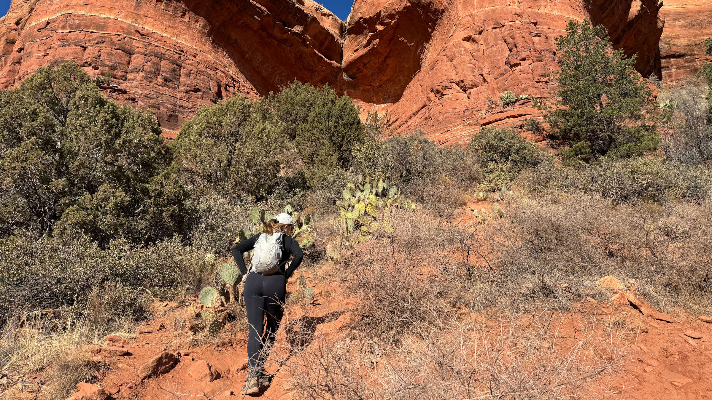
However, game trails lack civil engineering. They do not account for erosion control, drainage, or deliberate routing around cliffs. They typically begin with high clarity where animals congregate near water or meadows, but progressively deteriorate into dense brush or terminate abruptly at sheer drop-offs.
Official Responses and Expert Recommendations
Search-and-rescue coordinators, mountain guides, and outdoor educators continually update their guidance to help the public bridge the gap between digital convenience and wilderness safety.
1. Hardening Your Digital Navigation Against Canyon Constraints
Industry experts recommend configuring digital devices prior to entering high-risk topographic zones.
- Enable Multi-GNSS: Modern chipsets can connect to international satellite constellations beyond the United States GPS network, including GLONASS (Russia) and Galileo (European Union). Activating multi-GNSS increases the pool of available overhead pings.
- Deploy Multi-Band / Dual-Frequency Tracking: Advanced units utilize multiple radio frequencies simultaneously. This allows the software algorithm to filter out bounced or reflected signals coming off canyon walls, preserving true positional accuracy.
- The Sky-Soaking Rule: If a canyon is looming ahead, pause for 60 seconds under an open sky to allow the receiver to lock onto a robust satellite constellation before signal obstruction occurs.
2. Developing Environmental Vigilance at Junctions
To avoid falling victim to game trails or missing true trail markers:
- The Rule of Reversibility: If a trail fork looks ambiguous, do not press forward in hopes that it will clear up. Halt immediately, step back to the verified junction, and search for official signage, painted blazes, or cairns built by certified trail crews.
- Maintain Visual Anchors: When stepping off-trail to answer nature’s call or explore a vantage point, never assume you can simply "eyeball" your return route.
3. Protocols for Off-Trail Disorientation
Forest canopies homogenize the landscape. One hundred yards into dense timber can feel like miles of trackless wilderness.
- Pace Counting and Vectoring: If leaving the path, physically count your steps (e.g., 40 paces out, 40 paces back) or maintain a direct line-of-sight to the trail.
- Leave a Visual Marker: Brightly colored gear left on a pack right at the trail threshold serves as an undeniable visual beacon on the return trip. Alternatively, digitally drop a waypoint pin on your GPS application before walking into the brush.
4. Decoding the Cairn Controversy
Rock cairns—stacked stones used to mark routes across barren expanses, boulder fields, and slickrock—are dual-purpose features. While official trail maintenance crews build authorized cairns to prevent hikers from trampling fragile alpine vegetation or losing their way, unauthorized recreational cairns built by visitors acting on whim have become a major hazard.
- Cross-Verify with Cartography: Never trust a single cairn. A legitimate route will feature "line-of-sight" navigation, where a hiker standing at one cairn can clearly spot the next marker. If a cairn leads toward dangerous cliffs, steep drop-outs, or thick brush without a follow-up marker, consult a topographic map or compass immediately to verify heading.
Implications for the Future of Wilderness Recreation
As outdoor recreation surges in popularity, the demographic of backcountry users is shifting toward individuals who rely exclusively on smartphones and consumer electronics for navigation. While these tools have lowered the barrier to entry, they have also fostered a false sense of invulnerability.
The implications of this technology-first approach are visible in rising SAR activation rates, many of which stem from preventable navigational errors such as drained batteries, dropped phones, or confusion caused by uncalibrated digital tracks. Experts stress that the future of safe wilderness travel does not lie in rejecting technology, but in integrating it with traditional, analog skill sets.
Mastering the use of a topographic map and a baseplate compass, understanding how to read terrain features visually, and treating environmental anomalies—such as game trails and rogue cairns—with analytical skepticism are skills no battery can replace. Ultimately, the best navigation tool in the backcountry remains a trained, attentive human mind.
