


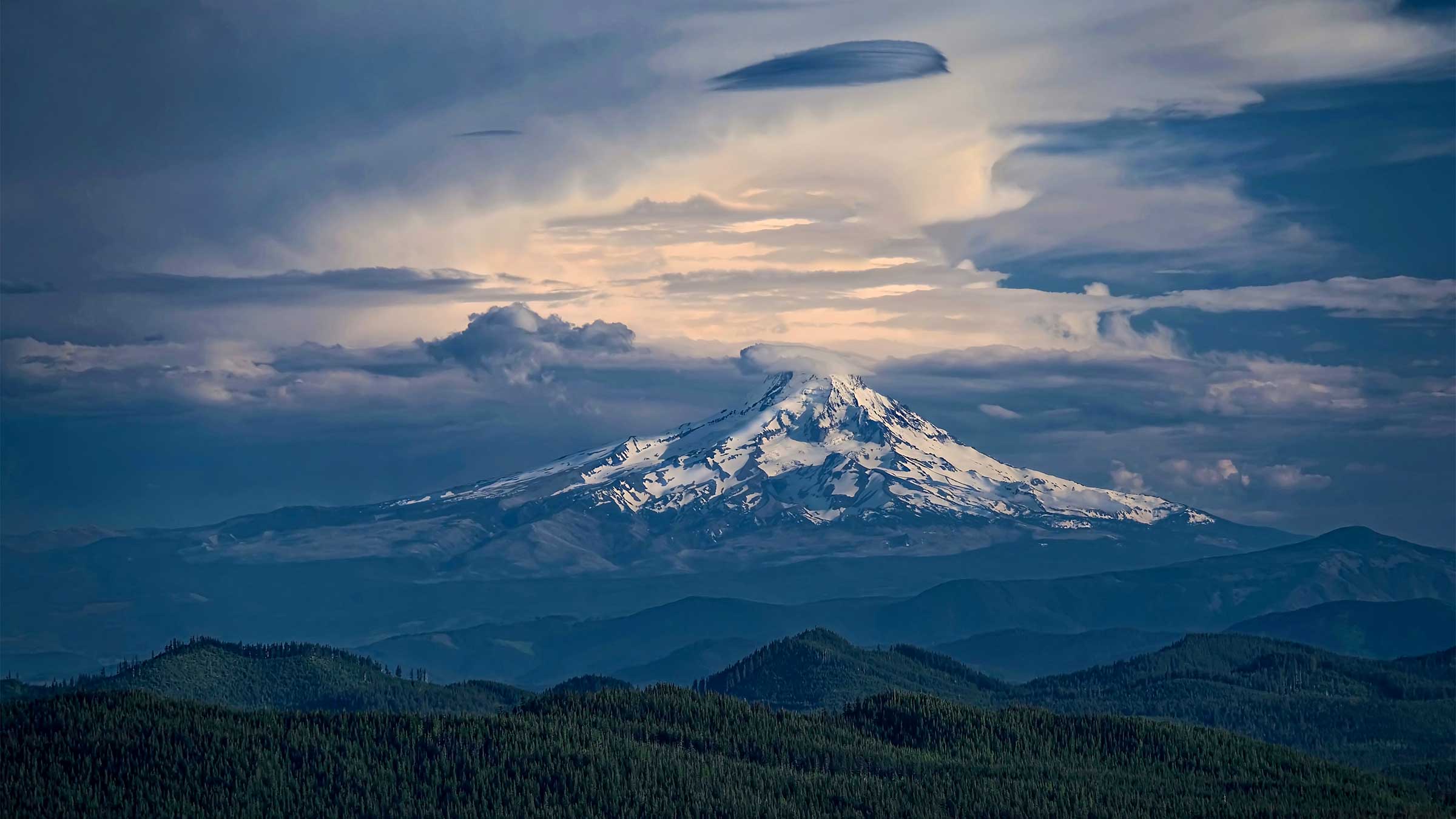
PORTLAND, Oregon — The heart of Pacific Northwest outdoor culture is facing an unprecedented ecological and recreational crisis. As the aggressive Grasshopper Fire continues its relentless march toward the iconic snow-capped peak of Mount Hood, federal land management agencies have enacted sweeping emergency measures. Massive swaths of the Mount Hood National Forest (MHNF) have been sealed off to the public, accompanied by urgent evacuation orders for nearby recreational zones and communities.
The unfolding disaster not only threatens the pristine wilderness surrounding Oregon’s highest peak but also disrupts one of the premier outdoor recreation economies in the United States. With tens of thousands of acres scorched, containment lines holding by a narrow margin, and a closure order spanning the remainder of the calendar year, hikers, conservationists, and local residents are bracing for a transformative summer and fall wildfire season.
Main Facts
The Grasshopper Fire, which ignited in late July, has rapidly evolved into a major wildfire threat within the Pacific Northwest. As of August 7, 2026, the fire has consumed 48,280 acres of dense timber, rugged terrain, and recreational landscape. Despite continuous suppression efforts by ground crews and aerial firefighting resources, the blaze remains only 23% contained.
The escalating threat has forced the U.S. Forest Service (USFS) to implement an expansive emergency closure order effective from August 4 through December 31, 2026. This directive shuts down access to 54 trails and 24 forest roads across the Mount Hood National Forest. Heather Ibsen, Public Affairs Officer for the MHNF, noted that the restrictions encompass a "good portion of the Barlow Ranger District."
Among the closed routes is the renowned 41-mile Timberline Trail, a premier backpacking destination that circumnavigates the base of Mount Hood. Portions of the trail overlap with the world-famous Pacific Crest Trail (PCT), creating complex logistical challenges for long-distance through-hikers. However, the USFS has confirmed that the PCT itself remains open to the public for now, as it skirts the eastern perimeter of the mountain, shielded temporarily by favorable shifts in wind patterns.
Evacuation orders have also been triggered. On August 4, the Meadows area of Mount Hood was placed under a Level 3 "Go Now" evacuation notice, signaling an immediate and imminent threat to life and property as the fire creeps closer to the Mount Hood Highway.
Chronology of the Event
Understanding the trajectory of the Grasshopper Fire highlights the speed at which modern wildfires can overwhelm regional infrastructure and wilderness areas:
- July 23, 2026: The Grasshopper Fire ignites within the rugged terrain of Mount Hood National Forest under dry summer conditions, immediately prompting initial attack responses from local and federal firefighting agencies.
- Late July to Early August: Fueled by bone-dry timber, steep slopes, and high seasonal temperatures, the fire experiences rapid, explosive growth, expanding across thousands of acres daily and generating massive smoke plumes visible from the Portland metropolitan area.
- August 4, 2026: With the fire encroaching dangerously close to populated recreation zones and major transportation arteries, the USFS issues an emergency closure order shuttering 54 trails and 24 forest roads through the end of the year. Simultaneously, authorities issue a Level 3 "Go Now" evacuation notice for the Meadows area of Mount Hood.
- August 6, 2026: Favorable weather intervention provides temporary relief. Winds shift back to the westerly direction, reducing immediate risks to the eastern sectors of the mountain and pushing smoke away from certain trail corridors. The fire’s closest perimeter holds at approximately four miles from the PCT.
- August 7, 2026: Forest officials update containment metrics, holding the line at 23% containment while managing the sprawling 48,280-acre footprint. USFS representatives emphasize that while many Western district trails are shuttered, numerous eastern routes and the primary PCT corridor remain accessible under heavy advisory warnings regarding wildfire smoke.
Supporting Data and Impact Metrics
The geographic scale of the Grasshopper Fire and the resulting USFS closure order is staggering, directly impacting regional recreation, tourism, and ecological health.
Closure Breakdown
- Total Acres Burned: 48,280 acres (and growing).
- Containment Rate: 23% as of August 7, 2026.
- Trail Closures: 54 individual trails officially closed under the emergency order.
- Forest Road Closures: 24 key Forest Service roads restricted to unauthorized personnel.
- Duration of Closures: Active through December 31, 2026, unless explicitly rescinded or modified by USFS administration.
Key Impacted Routes
The western side of Mount Hood—bearing the brunt of the fire’s eastward and northward advance—has seen total recreational shutdowns. Notable closures include:
- The Timberline Trail: A legendary 41-mile alpine route circumnavigating Mount Hood.
- Zig Zag Mountain Trail
- Lookout Mountain Trail
- Elk Meadows Trail
- Umbrella Falls Trail
- Surveyor’s Ridge Trail
Accessible Alternatives (As of August 7)
While the western district is heavily restricted, forest officials emphasize that less than half of the total trail network in the MHNF is currently closed. Open routes, primarily located on the eastern and southern flanks of the mountain, include:
- Mirror Lake
- Ramona Falls
- Tamanawas Falls
- Trillium Lake Loop
- McNeil Point
Official Responses and Fire Management Strategy
Managing a wildfire of this magnitude in a multi-use national forest requires a delicate balance between public safety, resource protection, and community reassurance. Federal spokespeople have been transparent about the severity of the situation while outlining a phased approach to eventual reopening.
Heather Ibsen, Public Affairs Officer for Mount Hood National Forest, spoke to reporters regarding the rationale behind the sweeping closures.
"The forest will open up areas as quickly as possible, so we may reduce the closure size first before it’s entirely rescinded," Ibsen explained. "Developed areas such as campgrounds, picnic areas, or highly-used roads may remain closed until hazards can be mitigated."
Ibsen stressed that the timeline for reopening heavily depends on post-fire damage assessments. Burned timber, unstable root systems, compromised bridges, and the high risk of flash floods and debris flows in burn scars mean that infrastructure must be meticulously inspected before the public can safely return.
Regarding the Pacific Crest Trail, which represents a critical artery for long-distance hikers trekking from Mexico to Canada, officials are monitoring meteorological data by the hour.
"The winds are shifting around back to the west today," Ibsen stated during an August 6 briefing. "So that should help reduce the risks to the PCT. As of today, the fire is still 4 miles from the fire’s perimeter at its closest point."
The U.S. Forest Service and the Pacific Crest Trail Association (PCTA) continue to urge through-hikers and weekend backpackers to consult official agency web portals daily. Changing wind patterns, sudden flare-ups, and shifting air quality indexes mean that a trail open in the morning could face emergency closures by afternoon.
Broader Implications for Outdoor Culture and Regional Ecology
The Grasshopper Fire is more than just a localized emergency; it represents a profound psychological and cultural blow to the Pacific Northwest. As noted by outdoor industry analysts, Mount Hood is the beating heart of regional mountain culture, drawing millions of local residents, skiers, climbers, and hikers each year.
Economic and Recreational Disruptions
The closure of iconic routes like the Timberline Trail during peak summer hiking season deals a severe economic blow to local outfitters, gear shops, shuttle services, and hospitality businesses in communities like Government Camp, Welches, and Sandy. Furthermore, with the Meadows area under a Level 3 evacuation order, tourism revenue has plummeted in sectors typically bustling with August vacationers.
The Smoke Crisis
Even for areas of the national forest that remain officially open—such as Ramona Falls or Trillium Lake—visitors face a pervasive environmental hazard: toxic wildfire smoke. Public health agencies have issued repeated warnings regarding fine particulate matter ($PM_2.5$) suspended in the air. Navigating technical terrain while breathing smoke-choked air increases cardiovascular and respiratory strain, forcing many outdoor enthusiasts to cancel trips entirely even if their favorite trailheads are not legally closed.
Climate Change and the Future of Cascade Forests
The Grasshopper Fire underscores a sobering reality for Pacific Northwest ecosystems. Historically, the wet, temperate rainforests of the Cascade Range were considered less susceptible to high-intensity, rapidly spreading mega-fires compared to the chaparral of Southern California or the interior pine forests of the Rockies. However, prolonged regional droughts, rising summer temperatures, and shifting snowpack dynamics are altering fire regimes across the Pacific Northwest.
As the USFS prepares for months of tactical mitigation, rehabilitation planning, and ongoing suppression operations, the fate of Mount Hood serves as a stark reminder of the mounting vulnerabilities facing America’s public lands in an era of rapid climatic transformation.
Hikers and residents seeking real-time updates, interactive closure maps, and evacuation routes are advised to monitor the official USDA Mount Hood National Forest Alerts Page and the Pacific Crest Trail Association portal before planning any travel to the region.
