

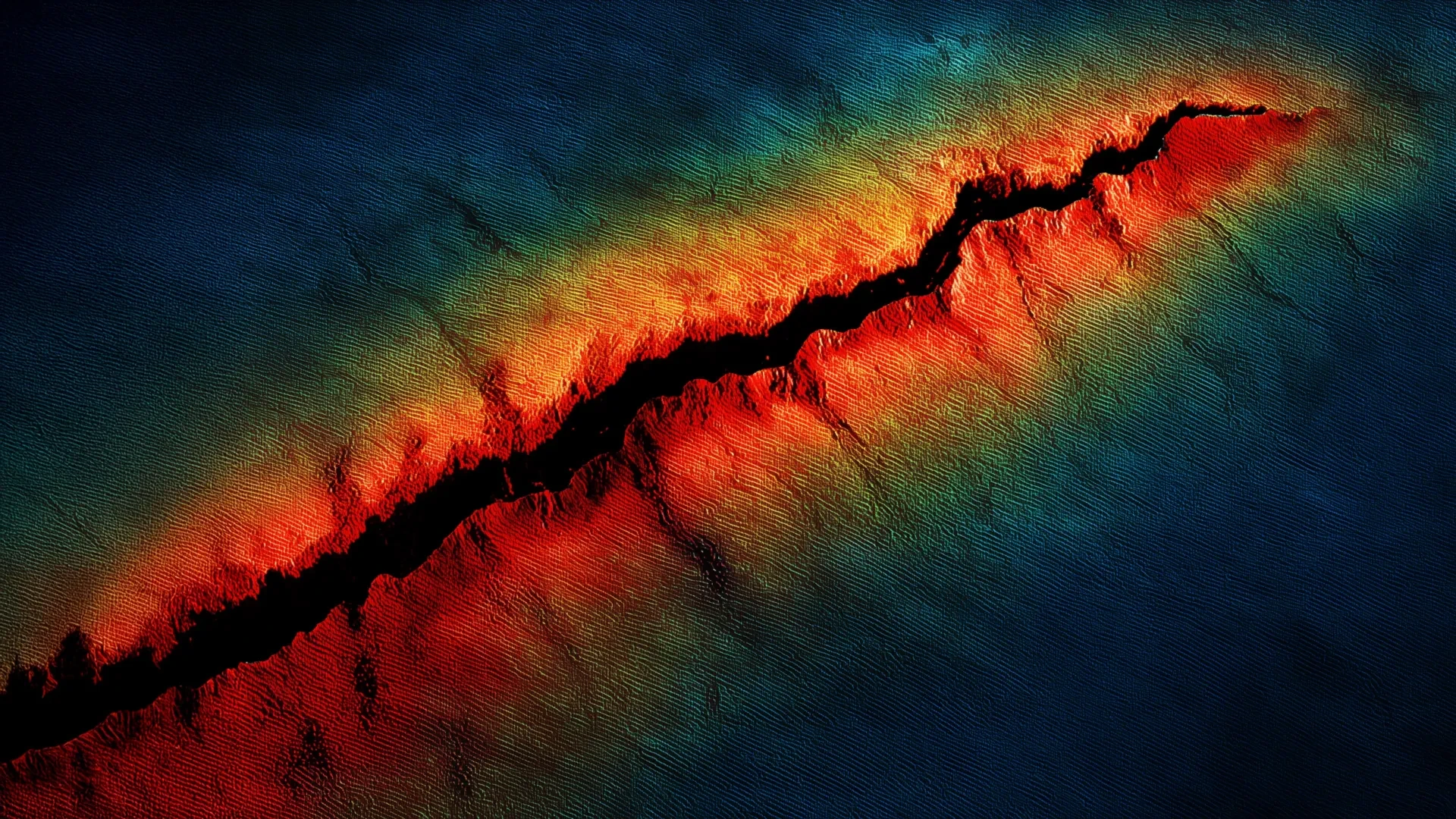
PORTLAND, Ore. — A groundbreaking seismic analysis of the subterranean architecture underlying the Pacific Northwest has revealed that the Juan de Fuca tectonic plate rests substantially closer to the Earth’s surface than previously understood. Unveiled at the Seismological Society of America (SSA) Annual Meeting, the new research indicates that the subducting slab beneath northern Oregon is up to five kilometers shallower than legacy geological models estimated.
Coupled with the simultaneous discovery of a deep, previously unmapped sedimentary basin beneath the coastal city of Tillamook, these findings are forcing geologists and emergency management officials to reevaluate the seismic hazard profile of the entire Cascadia Subduction Zone. According to the study’s lead researchers, the revised depth of the plate could amplify peak ground acceleration during a future megathrust earthquake by up to 17 percent along the northern Oregon coastline, posing heightened risks to infrastructure, communities, and populations spanning from the Pacific rim to the outskirts of Portland.
Main Facts
The latest geological assessment centers on the mechanics of the Cascadia Subduction Zone (CSZ), a sprawling 600-mile fault line stretching from Northern California up to Vancouver Island, Canada. Along this boundary, the oceanic Juan de Fuca plate is sliding eastward and downward beneath the continental North American plate. Historically, this subduction engine has proven capable of unleashing catastrophic, magnitude 9-plus earthquakes and devastating tsunamis, with the last known megathrust event occurring in January 1700.
The core revelations of the new study, spearheaded by U.S. Geological Survey (USGS) seismologist Erin Wirth and her research colleagues, include:
- A Shallower Slab Interface: The boundary where the Juan de Fuca plate slides beneath the North American plate—known as the slab interface—lies approximately 20 kilometers (about 12.4 miles) deep near the coastline of northern Oregon. This is roughly 5 kilometers shallower than historical estimates.
- Increased Shaking Intensity: Because the plate sits closer to the surface, seismic energy will have a shorter distance to travel during a rupture. Consequently, researchers project that peak ground acceleration could increase by 9% to 17% across northern Oregon during a Cascadia megathrust earthquake.
- The Tillamook Sedimentary Basin: Researchers successfully mapped a deep sedimentary basin beneath Tillamook, obtaining the first direct seismological constraints on its geometry and depth. Soft sediment layers of this nature are notorious for trapping and amplifying seismic waves, acting acoustically like a "bowl of jello."
- Targeted Regional Mapping: The findings effectively fill a critical historical data gap in northern Oregon, a region that historically exhibits lower background seismic activity than Washington or Northern California, leaving scientists with fewer natural earthquakes to study.
Chronology: Unraveling the Subsurface Mystery
The path to these discoveries required a massive, multi-year logistical undertaking designed to overcome centuries of geological obscurity.
The Data Desert: 2021 and 2022 Fieldwork
For decades, northern Oregon presented a vexing challenge for seismologists. While regions like western Washington and northern California experience frequent tectonic tremors—providing scientists with a steady stream of data as seismic waves pass through the earth—northern Oregon is seismically relatively quiet. This lack of natural background earthquakes starved researchers of the precise signals needed to map the deep subterranean topography of the subducting slab.
To bridge this knowledge gap, Dr. Wirth and a collaborative team of researchers launched an intensive field campaign during the summers of 2021 and 2022. They deployed a dense, temporary network of 192 nodal seismometers—highly sensitive portable instruments designed to record ground motion—arranged in a linear array stretching across the landscape from Tillamook out toward the Portland metropolitan area.
Offshore Convergence: The 2021 Marine Study
Concurrently, a complementary marine and onshore seismic study was launched in 2021, collecting seismic recordings offshore along a vast corridor stretching from Vancouver Island down to Northern California. When researchers analyzed the marine data, they noticed anomalous wave travel times that independently pointed to a shallower-than-expected offshore slab interface.
Synthesis and the 2026 Revelation
By combining the onshore nodal array dataset from Oregon with the offshore marine recordings, the research team synthesized a high-resolution, three-dimensional window into the Cascadia Subduction Zone. The culmination of this analytical work was presented at the 2026 SSA Annual Meeting, where the scientific community was introduced to the revised 20-kilometer depth contour and the Tillamook basin mapping.
Supporting Data and Technical Analysis
To understand why a shallower plate matters, geophysicists look at the fundamental physics of wave propagation and attenuation.
Distance and Attenuation
When an earthquake occurs at depth, the seismic energy radiates outward in all directions. As seismic waves travel through the Earth’s crust, they encounter friction, scatter, and lose energy—a process known as attenuation. Deeper earthquakes provide a longer travel path, allowing more geometric spreading and energy loss before the waves finally rupture the surface.
Conversely, when a fault ruptures closer to the surface, the seismic waves have a significantly shorter transit time. They arrive at surface structures with less opportunity for energy dispersal. Erin Wirth noted this exact mechanism during her presentation:
"We estimate that the slab interface is about 20 kilometers [deep] near the coastline, which is about 5 kilometers shallower than previous estimates… This could increase estimated peak ground acceleration — in other words, shaking intensity — from Cascadia megathrust earthquakes by approximately 9 to 17%."
The "Bowl of Jello" Effect in Tillamook
Compounding the threat of a shallower slab is the newly discovered sedimentary basin beneath Tillamook. Sedimentary basins are geological depressions filled over millennia with loose, unlithified sediments such as sand, silt, and clay.
When seismic waves transition from dense bedrock into these soft sedimentary layers, two dangerous phenomena occur:
- Amplification: The velocity of the seismic waves drops sharply, causing the wave amplitude to spike dramatically. This magnifies the physical shaking experienced at the surface.
- Trapping and Resonance: Seismic waves can become trapped along the steep, rocky edges of the basin, bouncing back and forth. This seismic resonance causes the ground to shake continuously for an extended duration, long after the initial shock wave has passed.
Similar basins—such as the Seattle Basin in Washington—have been extensively studied, and urban planners know that these locations suffer disproportionately high damage relative to surrounding rocky terrain.
Official Responses and Scientific Consensus
The geological and emergency management communities have received the new findings with a mixture of sobering realism and renewed urgency. For years, structural engineers and city planners have relied on hazard models that assumed a deeper, more forgiving subduction geometry beneath Oregon.
Dr. Wirth emphasized that these discoveries are critical steps toward hardening regional resilience:
"Characterizing the presence of a sedimentary layer, as well as its likely thickness, helps scientists to more accurately estimate ground shaking from future earthquakes."
State and federal geological agencies have underscored that the research does not imply a Cascadia megathrust earthquake is imminent; rather, it corrects our baseline understanding of how violent that earthquake will be whenever it eventually occurs. Building codes, bridge retrofitting programs, and critical infrastructure projects—such as hospitals, schools, and evacuation routes along the Oregon coast—are heavily dependent on peak ground acceleration estimates. An upward revision of 9% to 17% in shaking intensity means that existing structural margins of safety in northern Oregon may need to be systematically recalculated.
Furthermore, the methodologies validated by this study are already scaling outward. The research team has confirmed plans to utilize the same dense nodal seismometer datasets to conduct a high-resolution probe of the Tualatin Basin, located near the densely populated Portland metropolitan area, to uncover hidden sedimentary structures that could similarly amplify shaking for Oregon’s urban core.
Implications for the Pacific Northwest
The revelation that the Juan de Fuca plate lies shallower beneath northern Oregon carries profound implications for public safety, urban planning, and disaster preparedness throughout the Pacific Northwest.
Structural Vulnerability
Buildings most vulnerable to shallow, amplified seismic waves are tall, multi-story structures, unreinforced masonry buildings, and long-span bridges. The prolonged shaking caused by sedimentary basins like the one in Tillamook can induce material fatigue in concrete and steel, leading to structural failures even in buildings designed to withstand standard baseline codes. Coastal communities—many of which feature older downtown building stocks—face a complex challenge in retrofitting or replacing vulnerable structures.
Evacuation Planning and Lifelines
Because northern Oregon’s coastal geography is rugged and heavily reliant on specific highway corridors, enhanced shaking intensity threatens vital evacuation routes. Landslides triggered by heightened peak ground acceleration could sever access roads out of low-lying coastal towns before tsunami waves make landfall, underscoring the narrow window residents will have to reach high ground.
A Blueprint for Future Research
Beyond immediate hazard mitigation, the success of the 2021–2022 nodal deployment demonstrates the immense value of targeted, high-density seismic imaging in data-sparse regions. By deploying hundreds of low-cost, portable instruments, scientists can pierce through historical blind spots and decode the complex tectonic plumbing of subduction zones worldwide.
As researchers turn their focus toward the Tualatin Basin and continue refining Cascadia hazard models, the message to the Pacific Northwest remains clear: nature’s subterranean architecture is more intricate, and potentially more volatile, than previously mapped. Incorporating these new depths into regional preparedness frameworks is no longer optional—it is an absolute necessity for safeguarding the future of the coast.
