

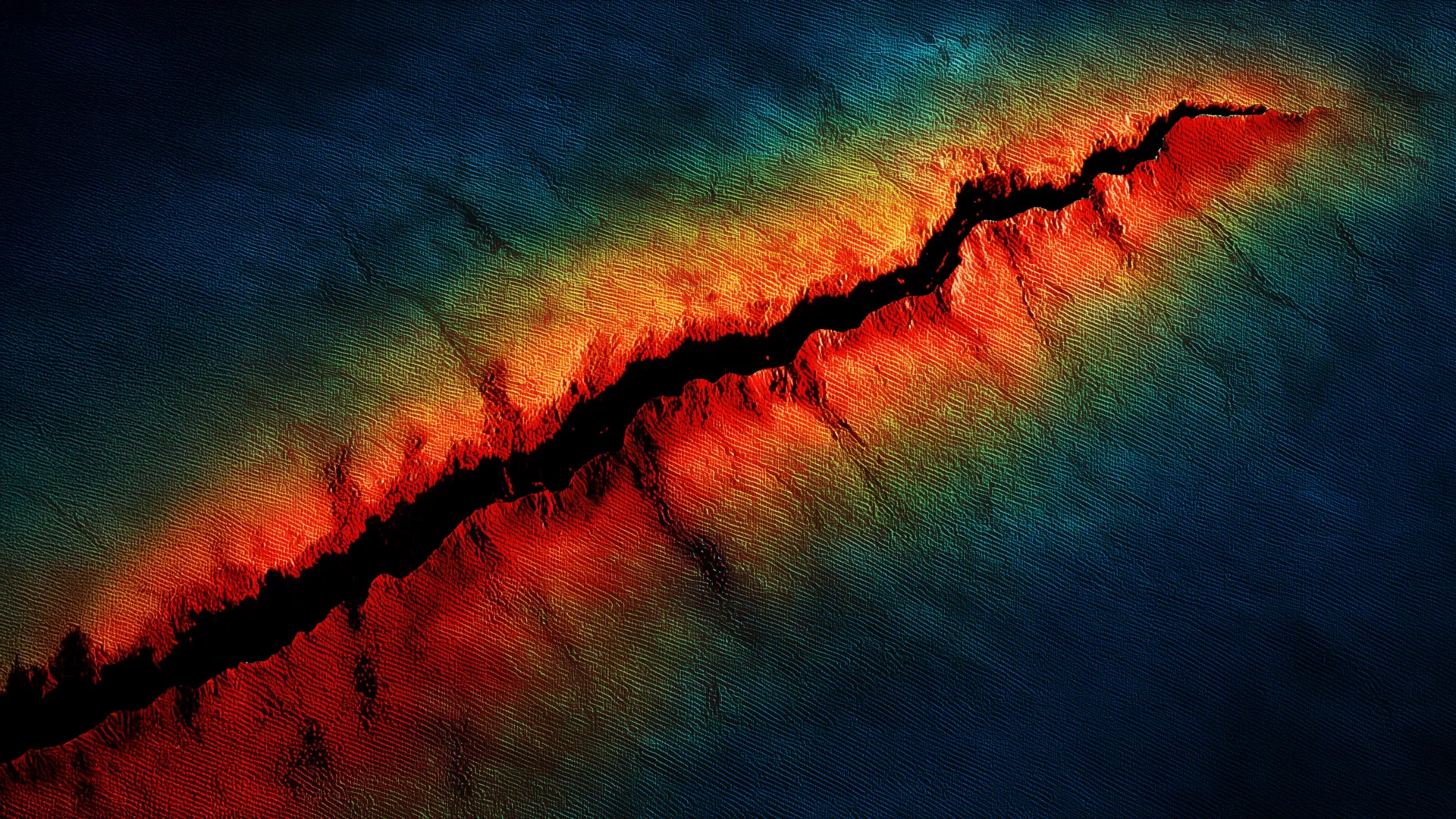
PORTLAND, Ore. — A groundbreaking seismic analysis of the subterranean architecture beneath the Pacific Northwest has revealed that the Juan de Fuca tectonic plate lies significantly closer to the surface than previously understood. Presented at the Seismological Society of America (SSA) Annual Meeting, this new research indicates that the subducting slab beneath northern Oregon is roughly 5 kilometers shallower than standard geophysical models had predicted.
Coupled with the discovery of a previously unmapped, deep sedimentary basin beneath the coastal city of Tillamook, these findings are forcing geologists and emergency management officials to recalculate the seismic hazard models for the region. According to the study’s lead researchers, the revised depth of the plate could amplify peak ground acceleration—the measure of how violently the earth shakes—by up to 17% along portions of the northern Oregon coast during a future Cascadia megathrust earthquake.
The study addresses a longstanding blind spot in Pacific Northwest seismology. By deploying hundreds of high-tech instruments across the Oregon landscape and combining onshore and offshore datasets, scientists have captured an unprecedentedly clear cross-section of one of the planet’s most dangerous geological fault systems.
Main Facts
The core revelation of the study centers on the geometry of the Cascadia Subduction Zone, a massive 700-mile fault line stretching from Northern California to Vancouver Island, Canada, where the oceanic Juan de Fuca plate dives beneath the continental North American plate.
- Revised Plate Depth: Researchers estimate that the slab interface is located approximately 20 kilometers (about 12.4 miles) beneath the surface near the northern Oregon coastline. This is roughly 5 kilometers shallower than earlier regional models suggested.
- Increased Shaking Intensity: Because the fault interface is closer to the surface, seismic energy has a shorter distance to travel to reach populated areas. This geometric shift could increase peak ground acceleration by approximately 9% to 17% along the northern Oregon coast during a major seismic event.
- The Tillamook Sedimentary Basin: In addition to mapping the plate, the research team discovered a deep sedimentary basin beneath Tillamook, Oregon. This marks the first direct seismological constraint on the basin’s precise shape and depth.
- The "Jello Effect": Sedimentary basins are known to trap and amplify seismic waves. Soft sediments behave similarly to a "bowl of jello," magnifying shaking intensity and prolonging its duration—a phenomenon that poses a heightened risk to infrastructure and high-rise buildings.
- Fieldwork Methodology: To bypass a natural scarcity of local earthquakes in northern Oregon, researchers deployed a dense network of 192 temporary nodal seismometers across a transect stretching from Tillamook to Portland during the summers of 2021 and 2022.
Chronology of the Discovery
The journey toward rewriting the geological profile of northern Oregon unfolded over several years, driven by advancements in portable seismic technology and coordinated multi-institution field campaigns.
The Data Gap (Pre-2021)
For decades, seismologists studying the Cascadia Subduction Zone faced a geographic discrepancy. While western Washington and northern California experience frequent background seismicity—smaller, routine earthquakes that allow scientists to "sound out" the earth’s interior using seismic waves—northern Oregon is relatively quiet. This seismic drought left researchers with significantly fewer natural data points to image the buried Juan de Fuca plate, forcing them to rely on broader, lower-resolution regional models and seismic refraction data gathered decades prior.
The Field Deployments (Summers 2021–2022)
Recognizing the need for high-resolution local data, a team of researchers led by scientists from the U.S. Geological Survey (USGS) launched an intensive field campaign. During the summers of 2021 and 2022, crews installed 192 temporary nodal seismometers—highly sensitive, easily deployable ground-motion sensors—along a linear array stretching from the Pacific coast at Tillamook eastward toward the Portland metropolitan area.
Concurrently, in 2021, a separate but complementary marine study collected seismic recordings offshore, stretching from Vancouver Island down to Northern California. This offshore initiative aimed to image the subduction zone where the Juan de Fuca plate first plunges beneath the ocean floor.
Data Synthesis and the SSA Meeting (2026)
Following years of processing massive streams of seismic data—using ambient noise and distant earthquakes to illuminate the subsurface structure—the research team synthesized the onshore nodal array data with the 2021 offshore marine study. The resulting composite models revealed a sharper, more accurate image of the subducting slab.
In 2026, Dr. Erin Wirth, a prominent USGS seismologist and lead researcher on the project, formally presented the findings at the SSA Annual Meeting, drawing widespread attention from the earth science community and emergency planning agencies.
Supporting Data and Technical Insights
Understanding why a shallower plate and a hidden sedimentary basin matter requires a closer look at the physics of wave propagation and subduction zone mechanics.
The Mechanics of Shaking
When an earthquake occurs, it releases a tremendous amount of energy in the form of seismic waves. These waves radiate outward in all directions. In a deep subduction scenario, the seismic energy must travel a long vertical distance through the Earth’s crust before reaching the surface. As it travels, geometric spreading and internal rock friction cause the energy to dissipate, weakening the intensity of the shaking felt by structures above.
However, when a slab is shallower, the distance is compressed. The seismic waves reach the surface faster and with less opportunity for the energy to attenuate.
$$textShorter Travel Distance longrightarrow textLess Attenuation longrightarrow textHigher Peak Ground Acceleration$$
This physical reality underpins Wirth’s calculation that ground shaking could increase by nearly 20% in specific coastal zones.
The Tillamook Basin Discovery
Compounding the hazard posed by the shallow plate is the newly mapped sedimentary basin beneath Tillamook. Sedimentary basins are geological depressions filled over millions of years with loose, unconsolidated sediments, gravels, and sands.
When seismic waves pass from dense, hard bedrock into soft basin sediments, two dangerous things happen:
- Impedance Contrast: The velocity of the seismic waves slows down dramatically, causing the waves to grow in amplitude (height), much like ocean waves bunch up and grow taller as they hit shallow coastal shelves.
- Trapping and Resonance: Waves become trapped inside the basin, bouncing back and forth against its steep bedrock walls. This prolongs the duration of the shaking, turning a short, sharp shock into a prolonged, destructive rocking motion.
Similar basins—such as the Seattle Basin in Washington and the Los Angeles Basin in California—have long been studied for their role in disaster scenarios. The identification of the Tillamook Basin provides critical parameters for computer simulations of future Cascadia earthquakes.
Official Responses and Scientific Reactions
The geological community has received the new models with a mixture of professional validation and urgent calls for updated infrastructure assessments.
"We estimate that the slab interface is about 20 kilometers [deep] near the coastline, which is about 5 kilometers shallower than previous estimates," Erin Wirth explained during her presentation at the SSA conference. She emphasized that these adjustments are not merely academic revisions; they directly translate to how engineered structures must be designed to withstand a major disaster.
"This could increase estimated peak ground acceleration—in other words, shaking intensity—from Cascadia megathrust earthquakes by approximately 9 to 17%" along the northern Oregon coastline, Wirth warned.
Other geologists and hazard mitigation experts have noted that the findings validate ongoing concerns that standardized regional hazard maps may underestimate localized risks. Because the Pacific Northwest faces the looming threat of a Cascadia "megathrust" earthquake—an event capable of exceeding magnitude 9 and generating catastrophic tsunamis—every kilometer of depth precision matters when designing life-safety systems, bridges, hospitals, and schools.
Local emergency management agencies in Tillamook County and the broader Willamette Valley have begun reviewing the implications of the study, noting that urban planning models must account for basin amplification effects that were previously unaccounted for in coastal Oregon communities.
Implications for the Pacific Northwest
The implications of Wirth’s research extend far beyond the theoretical modeling of tectonic plates. They strike at the heart of community resilience and disaster preparedness in Oregon.
Recalculating Building Codes
Civil engineers rely on probabilistic seismic hazard maps produced by agencies like the USGS to draft building codes. If ground acceleration values are understated by 10% to 17% in northern Oregon, existing structures built to older codes—and even some modern infrastructure—may experience forces exceeding their designed structural capacity during a Cascadia event. State regulators and structural engineers will need to integrate these revised slab depths and basin amplification factors into future iterations of building standards.
Vulnerability of the Built Environment
The combination of a shallower megathrust fault and soft sedimentary amplification presents a distinct danger to specific classes of structures:
- Tall Buildings: Long-period seismic waves, which are amplified by deep sedimentary basins like the one in Tillamook, are particularly hazardous to mid-rise and high-rise buildings, causing them to sway violently.
- Bridges and Overpasses: Rigid infrastructure founded on soft soils can suffer catastrophic foundation failure through soil liquefaction and amplified ground motion.
- Lifeline Networks: Water, power, and transportation corridors running through coastal basins face prolonged shaking that can rupture pipelines and sever evacuation routes.
Future Research Directions
The success of the 2021–2022 nodal seismometer deployment has proven the value of high-density, temporary seismic arrays in data-sparse regions. Wirth and her research collaborators have already announced plans to leverage the methodology and dataset to investigate other geological structures in the region.
Specifically, the team aims to turn its analytical lens toward the Tualatin Basin near Portland. By applying the same high-resolution seismological techniques to the Tualatin Basin, scientists hope to better characterize the subsurface hazards lurking right beneath the expanding metropolitan fringe of Oregon’s largest population center.
Ultimately, while the new analysis reveals that northern Oregon may be subject to more intense shaking than previously thought, the insights provided by Wirth and her colleagues offer something equally valuable: the knowledge required to prepare, engineer, and build a more resilient Pacific Northwest before the inevitable rupture occurs.
