

By Global Science Correspondent
Scientists have unlocked a long-standing paleoclimate mystery, revealing how Antarctica developed a massive ice sheet millions of years before the Arctic, at a time when the Earth was roughly 5°C warmer than it is today.
Published in the prestigious journal Science, an international research collaboration has demonstrated that the secret to Antarctica’s premature deep-freeze lies not in the atmosphere alone, but deep beneath the continent’s crust. As powerful geological forces slowly elevated the landmass over tens of millions of years, they created high-altitude terrain cold enough for snow and ice to permanently take root.
The groundbreaking study was led by researchers at the University of Southampton, working alongside a multidisciplinary team from Durham University in the UK, the GFZ Helmholtz Centre for Geosciences and the University of Potsdam in Germany, Utrecht University in the Netherlands, and the University of Florence in Italy. Funded in part by the WoodNext Foundation, the findings reshape our understanding of how Earth’s interior dynamics can precondition the planet’s surface for major climatic transitions.
Main Facts: The Tectonic Driver of Antarctica’s Deep Freeze
For decades, climatologists have grappled with an apparent contradiction in the geological record. While atmospheric carbon dioxide ($textCO_2$) is widely recognized as a primary dial controlling Earth’s temperature, falling greenhouse gas levels alone fail to fully explain the timeline of polar glaciation. If $textCO_2$ drops were the sole catalyst, both the Antarctic and the Arctic should have responded symmetrically.
Instead, Antarctica gained a massive head start. The East Antarctic Ice Sheet began forming approximately 34 million years ago, while large-scale ice sheets in the Northern Hemisphere did not materialize until roughly the past five million years.
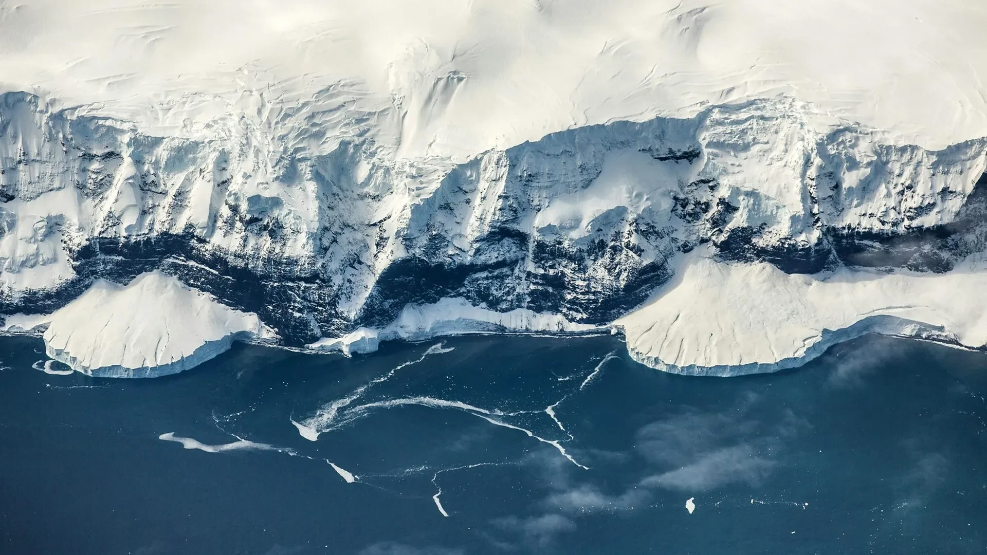
The new research points to the gradual, deliberate creation of high terrain in East Antarctica. As a vast complex of coastal escarpments, elevated plateaus, and inland mountain ranges—most notably the Gamburtsev Province—pushed upward, it crossed critical elevation thresholds. This terrain-driven cooling permitted permanent snowpacks to form and expand, paving the way for the largest ice sheet currently on Earth, which holds enough frozen water to raise global sea levels by approximately 52 meters if it were to melt completely.
Chronology: A 100-Million-Year Geological Evolution
To reconstruct how the Antarctic landscape transformed from a temperate wilderness into a frozen desert, the research team employed advanced computational models to simulate 100 million years of surface evolution.
The Jurassic Split and Mantle Waves
The deep-seated process began long before the ice arrived. Following the breakup of the supercontinent Gondwana, Antarctica and Africa began separating during the Jurassic Period, between 201 and 143 million years ago.
This tectonic rifting unleashed powerful forces deep within the Earth. The team’s models indicate that a phenomenon known as "mantle waves"—slow-moving thermal and dynamic disturbances traveling beneath continents after tectonic plates separate—was responsible for much of the gradual uplift. Previously identified by lead author Prof. Thomas Gernon’s research group, mantle waves have been linked to deep-mantle phenomena such as diamond volcanic eruptions and mysterious regional uplifts.
As these slow waves propagated beneath East Antarctica over a span exceeding 100 million years, they systematically heaved the continent upward.
Crossing the 2-Kilometer Threshold
By roughly 45 million years ago, this persistent tectonic lifting had pushed large portions of East Antarctica above a critical elevation: approximately two kilometers (1.2 miles) above sea level.
Air temperatures drop predictably with altitude—by roughly 1°C for every 100 meters gained. Once the Gamburtsev Mountains and surrounding plateaus breached this two-kilometer threshold, local temperatures dropped sufficiently for mountain glaciers to form, survive the summer melt, and gradually coalesce into a cohesive ice cap by 34 million years ago.
Supporting Data and Mechanisms: The Physics of Polar Glaciation
Topography is fundamentally important for glaciation, but the transition from isolated mountain glaciers to a continent-spanning ice sheet required powerful feedback loops.
The Ice-Albedo Effect
Once the initial ice caps formed, they triggered a potent feedback cycle known as the ice-albedo effect. Snow and ice have high albedo, meaning they reflect a significant portion of incoming solar radiation back into space rather than absorbing it.
According to the study’s estimates, this increased reflectivity cooled regional and global temperatures by an additional 1°C. Despite this cooling, it still wasn’t enough to trigger glaciation in the Arctic, as Northern Hemisphere landmasses remained predominantly at lower elevations.
Atmospheric Drying and Water Vapor Feedback
As Antarctica cooled further, a secondary atmospheric feedback reinforced the deep-freeze. Colder air holds significantly less water vapor than warm air. Because water vapor acts as a natural greenhouse gas—forming an insulating blanket around the planet—a drying atmosphere lost this thermal insulation, driving temperatures down even further.
"Together, these feedbacks allowed the Antarctic ice sheet to spread from the mountains across the continent, eventually reaching the coast," noted Dr. Philip Goodwin, a climate physicist at the University of Southampton and co-author of the study.
Official Responses from the Research Team
The collaborative nature of the study brought together experts in tectonics, geomorphology, and climate physics, yielding a unified narrative of ancient Antarctic history.
Prof. Thomas Gernon, Professor of Earth Science at the University of Southampton and lead author of the study, emphasized the primacy of geology in setting the stage:
"Antarctica’s land surface was gradually lifted to the point where ice could gain a permanent foothold, even while the surrounding polar oceans as well as global temperatures remained surprisingly warm. If falling levels of $textCO_2$ acted alone, you would expect the poles to respond more symmetrically. Instead, Antarctica gained a major head start because geological processes had raised land to higher elevations, making it colder."
Dr. Thea Hincks, Senior Research Fellow at the University of Southampton and co-study leader, highlighted the precision of their modeling:
"We found that our models can realistically capture the evolution of the two-kilometer-high coastal escarpment, elevated plateau, and inland mountains, eventually seeding the East Antarctic Ice Sheet."
Dr. Guy Paxman, a Royal Society University Research Fellow at Durham University and co-author, underscored the role of landscape morphology:
"Topography is fundamentally important for glaciation. Air temperatures can drop by up to 1°C for every 100 meters of altitude gained."
Implications: Rethinking Earth’s Climate History and Future
The implications of this study extend far beyond the paleogeography of the Southern Hemisphere. By demonstrating that the Earth’s interior can actively "precondition" landscapes for glaciation, the research challenges the conventional view that climate shifts are driven exclusively by atmospheric and oceanic factors.
Prof. Gernon summarized the broader significance of the team’s findings:
"Our findings reveal that the Earth’s interior preconditions landscapes to glaciation, determining when and where major climate transitions like the glaciation of Antarctica become possible. That’s incredibly important for understanding Earth’s ancient ice ages as well as future tipping points in the climate system."
As scientists continue to model future climate tipping points, this research serves as a vital reminder of the intricate coupling between the deep Earth and the surface atmosphere. Tectonic processes operating over millions of years can quietly establish the boundaries within which rapid, catastrophic climate shifts ultimately play out.
