

Updated September 17, 2026
For generations, the Appalachian Trail (AT) has stood as the gold standard of American wilderness trekking—a sprawling, 2,190-plus-mile serpentine path connecting Springer Mountain in Georgia to Mount Katahdin in Maine. Yet, beneath the canopy of this legendary footpath, a quiet crisis has been unfolding. Surging user numbers, shifting backpacking styles, and a century-old infrastructure model have placed unprecedented strain on fragile mountain ecosystems.
Now, land managers are fighting back. Spearheaded by the Appalachian Trail Conservancy (ATC), conservationists, recreation ecologists, and regional trail clubs are executing a sweeping paradigm shift. By combining modern geospatial analytics, data-driven visitor management, and radical infrastructural interventions—including the removal of iconic shelters and the construction of engineered side-hill tent pads—the ATC is attempting to redefine the backcountry experience for the next century.
Main Facts: The Crisis of Overuse and the Infrastructure Pivot
The core challenge facing modern AT management boils down to a fundamental mismatch between 20th-century infrastructure and 21st-century recreation volumes. Built largely during an era of heavy canvas packs and modest hiking populations, the AT’s network of over 250 shelters was historically positioned on flat terrain immediately adjacent to water sources.
When daily foot traffic was low, these sites functioned adequately. But in the modern era of booming "bubble seasons"—during which throngs of aspiring thru-hikers launch from Springer Mountain every spring—these historic hubs have become ecological bottlenecks.
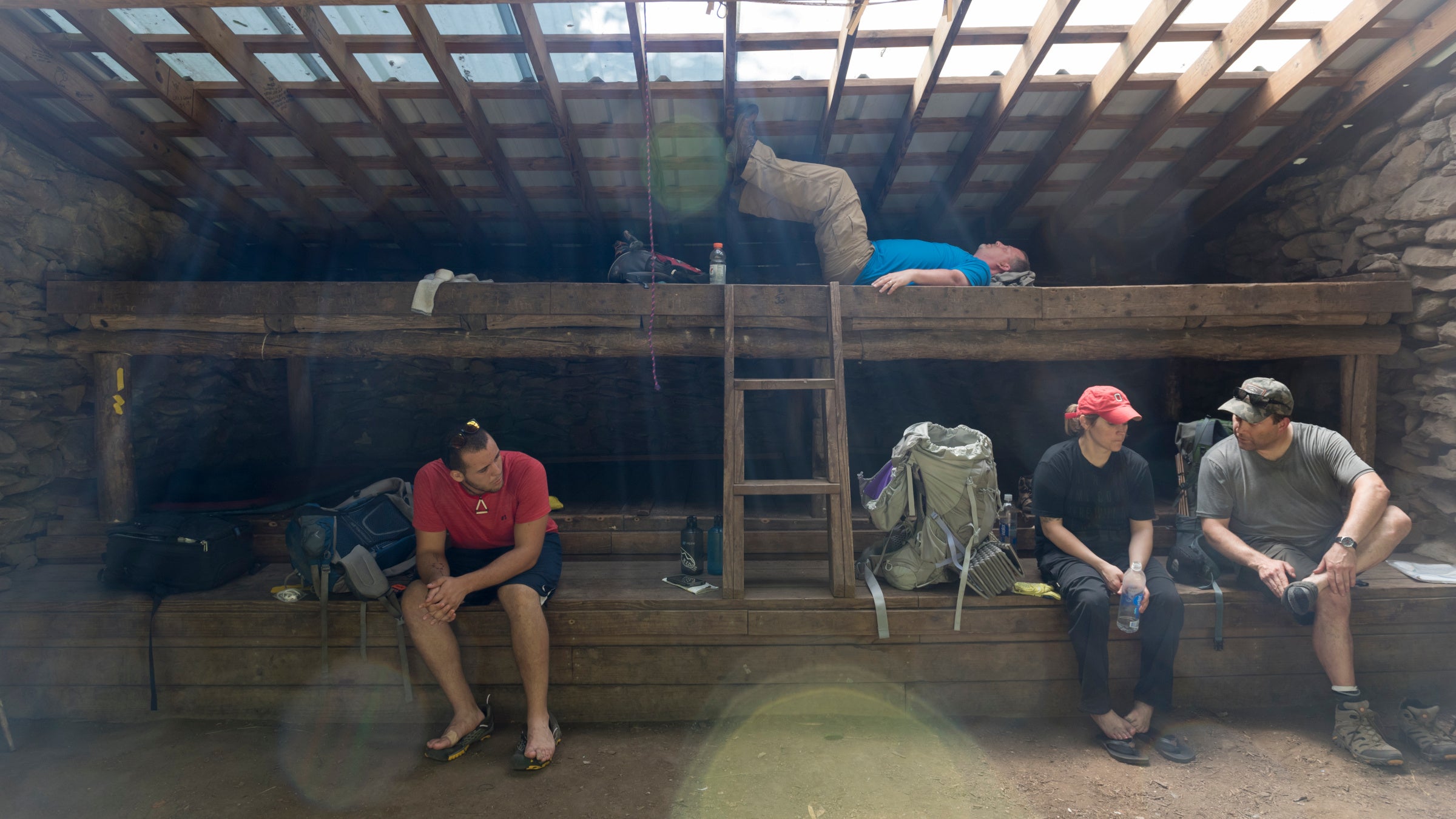
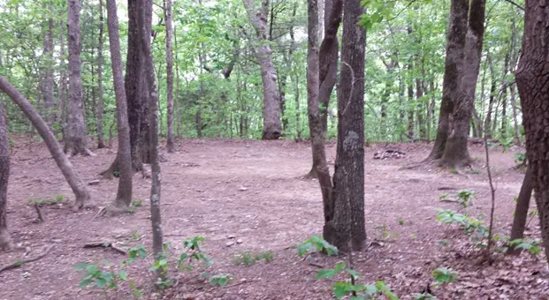
At Hawk Mountain Shelter, located roughly 8 miles north of the southern terminus, the situation famously devolved. During peak season, upward of 100 would-be thru-hikers converged on the site daily. Because the shelter itself could only house a dozen people, the remaining trekkers spilled out into the surrounding forest, pitching tents at improvised, unauthorized locations.
The cumulative impact was devastating. Frequent foot traffic along paths connecting firepits, water sources, and catholes systematically trampled the understory. Stripped of stabilizing vegetation, the exposed topsoil fell victim to heavy rains, washing away in sheets. By 2015, the environmental impact zone surrounding Hawk Mountain had ballooned to an alarming four acres of denuded, eroding earth.
"I’d hiked the trail in the late 70s and the change was jarring," says Morgan Sommerville, the ATC’s director of visitor use management. "All of a sudden you come to this denuded area in the middle of what are supposed to be pristine woods—and that’s the polar opposite of the intended AT experience."
To combat this, the ATC, in partnership with the U.S. Forest Service, the Georgia Appalachian Trail Club, and recreation ecologist Jeff Marion, launched a high-stakes pilot program at Hawk Mountain. The overarching thesis of the intervention was simple yet revolutionary: high user volume does not automatically have to translate into high environmental damage. Rather, the root cause of degradation was a lack of structured guidance and poor initial site planning.
Chronology of Intervention: From Hawk Mountain to Trail-Wide Reform
The modern transformation of AT campsite management did not happen overnight. It represents a decade-long evolution in policy, trial, and execution.
- Pre-2007: The AT operates largely on legacy infrastructure. Shelters are maintained and rebuilt based on historical precedent rather than ecological sustainability, with little understanding of cumulative visitor impacts.
- 2007: Guided by foundational research from recreation ecologist Jeff Marion—a pioneer of the national Leave No Trace campaign—the ATC publishes its first official sustainable overnight management guidelines.
- 2015: The environmental crisis at Hawk Mountain Shelter peaks. The impact zone swells to approximately four acres, prompting Sommerville, Marion, and regional partners to designate the site as a living laboratory for radical trail remediation.
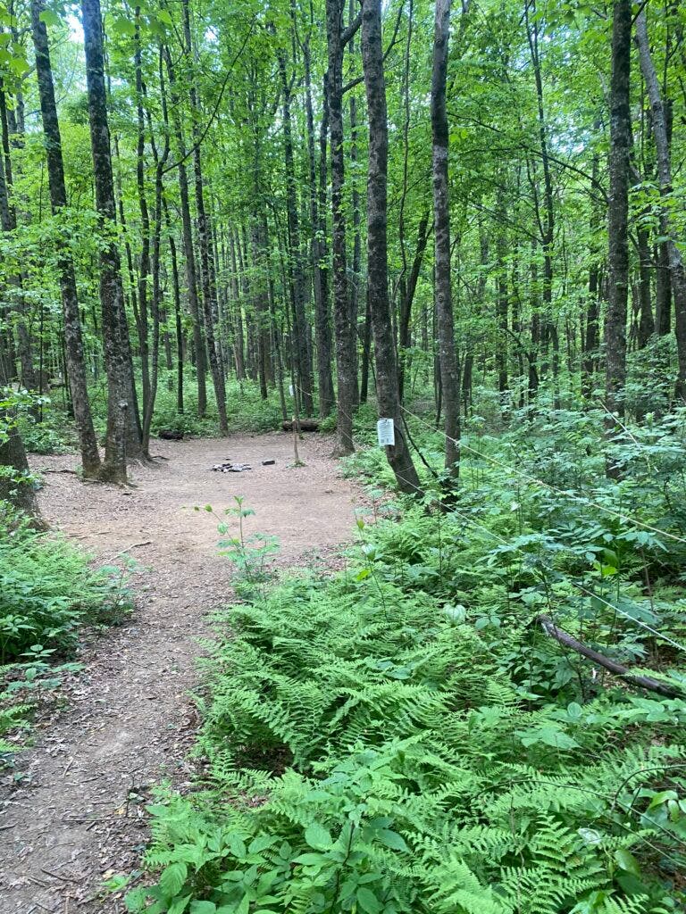
- 2016: Comprehensive interventions begin at Hawk Mountain. Crews string rope barriers through damaged woodlands to close 3.75 acres to use, deploy laminated educational cards, implement an online registration system to stagger thru-hiker start times, introduce bear boxes to curb food-search wandering, and carve 30 sustainable tent pads into steep hillsides.
- 2016–2020: Over a four-year monitoring window, the results at Hawk Mountain stun land managers. The active impact zone shrinks from four acres down to roughly a quarter-acre, and the forest understory triumphantly rebounds.
- 2020–2023: The COVID-19 pandemic accelerates a massive surge in outdoor recreation, reinforcing a cultural shift toward individual tent camping over communal shelter sharing. The ATC expands intervention models to high-use regional hubs, including Virginia’s heavily trafficked McAfee Knob corridor.
- 2025–2026: To eliminate guesswork, the ATC commissions a comprehensive, trail-wide campsite survey utilizing GPS mapping and pairs it with a massive usage study incorporating anonymous cell phone data and satellite heat maps. Concurrently, controversial decisions are made to retire aging or unsafe structures—such as the historic Overmountain Shelter and the storm-damaged Cherry Gap lean-to—signaling the permanent embrace of a shelter-reduction strategy.
Supporting Data: What the Numbers Tell Us
For decades, land managers operated primarily on anecdotal evidence, reacting to localized crises only after severe damage had already occurred. Today, data collection on the Appalachian Trail has entered the digital age.
Recent user surveys conducted by the ATC reveal telling patterns in trekker behavior. Crucially, data shows that thru-hikers utilize shelters on only about one out of every four nights. The vast majority of backpackers express a strong preference for stealth camping, a habit that historically resulted in the proliferation of over 5,000 unofficial, user-created tent sites scattered across the length of the trail.
Furthermore, visitor analytics demonstrate extreme geographic concentration. Iconic landmarks like McAfee Knob in Virginia now draw upwards of 60,000 visitors annually, turning nearby stopovers like the Catawba Mountain Shelter into high-stress zones.
By combining these human-use metrics with cutting-edge geospatial technologies—such as anonymous cell phone tracking, satellite imagery analysis, and rigorous field audits conducted by teams of thru-hiker alumni walking 730-mile oversight zones—the ATC can now visualize human footprints with unprecedented precision. Instead of waiting for complaints or stumbling upon degraded zones, trail managers now possess real-time intelligence on where campers congregate, allowing conservation dollars and volunteer labor to be deployed with surgical efficiency.
Official Responses: Balancing Heritage with Habitat
Few topics in the backpacking community evoke as much passion as the fate of AT shelters. To many old-school hikers, lean-tos are sacred spaces, repository walls carved with the names and dates of past journeys, and vital emergency havens during sudden mountain deluges. Consequently, the ATC’s strategic pivot toward removing or scaling back certain shelters has generated intense debate.
When structural degradation or safety concerns led to the removal of the iconic red barn at the Roan Highlands’ Overmountain Shelter in 2023, the decision drew substantial public opposition from hikers mourning the loss of a historic landmark. Similarly, debates frequently swirl around whether modern interventions sanitize a rugged wilderness experience.
Yet, leadership remains steadfast. "We don’t envision a future where there are no shelters," Sommerville clarifies. Historic stone masterpieces constructed by the Civilian Conservation Corps—such as the William Brien Memorial Shelter in New York—alongside modern, sustainably engineered side-hill structures like Tennessee’s Mountaineer Falls unit, are expected to remain cornerstones of the trail.
"Shelters are historically linked with the AT experience and they aren’t inherently bad," Sommerville says. "Pero la mayoría se construyeron sin premeditación, y creemos que debería haber menos a medida que avanzamos." ("Most were built with little forethought and we think that there should be fewer of them as we move forward.")
Conversely, when destructive acts of nature or advanced decay strike poorly placed facilities—such as the cinderblock lean-to at Cherry Gap, which suffered heavy damage during Hurricane Helene—the response has shifted from reflexive rebuilding to strategic relocation. By tearing down dank, erosion-prone shelters and replacing them with eco-friendly alternatives on stable, sloped terrain, the ATC is prioritizing long-term watershed health over sentimental preservation.
Implications: The Next Century of the Appalachian Trail
The profound changes underway at Hawk Mountain, Catawba Mountain, and across the broader AT landscape mark the end of an era of passive management. The trail’s explosive popularity means that laissez-faire backcountry stewardship is no longer mathematically or ecologically viable.
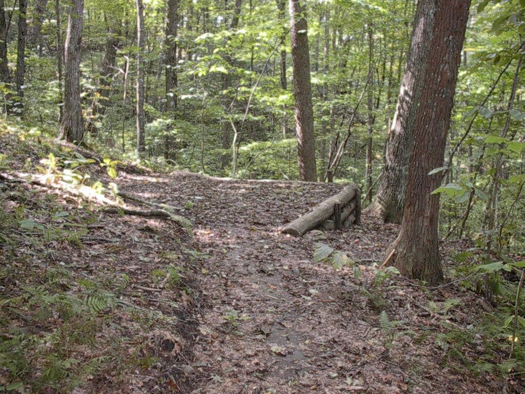
The implications of this ongoing paradigm shift for future backpackers are clear:
- Rise of the Tent Pad: Hikers can expect to encounter significantly more engineered tent pads cut into hillsides (grades of 15% or steeper) designed specifically to eliminate flat-area soil compaction and water pooling.
- Strategic Attrition of Shelters: Over the coming decades, the total number of shelters along the 2,190-mile corridor will likely shrink. Poorly positioned, historic-but-unsustainable structures will be phased out in favor of resilient, low-impact alternatives.
- Digital Integration: Online registration systems, electronic permits, and dynamic capacity caps will increasingly dictate how hikers move through sensitive zones, replacing the historic freedom of completely spontaneous multi-month odysseys with structured stewardship.
- Data-Driven Conservation: Future trail improvements will no longer rely on guesswork. High-resolution GIS mapping and mobile tracking metrics will continually inform where ropes go up to heal understories and where new infrastructure must be placed to absorb foot traffic.
Ultimately, the goal of the Appalachian Trail Conservancy’s ambitious blueprint is not to restrict access for the sake of restriction, but to preserve the very essence of the wilderness experience. By hardening specific, high-stress corridors and allowing exhausted ecosystems to heal, land managers are ensuring that the green tunnel of the AT remains a sanctuary for wildlife and a pristine challenge for human endurance for generations to come.
